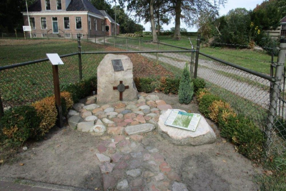
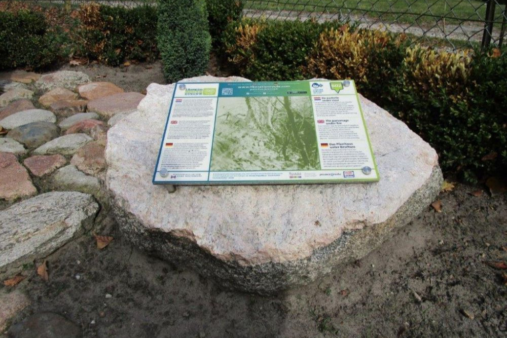
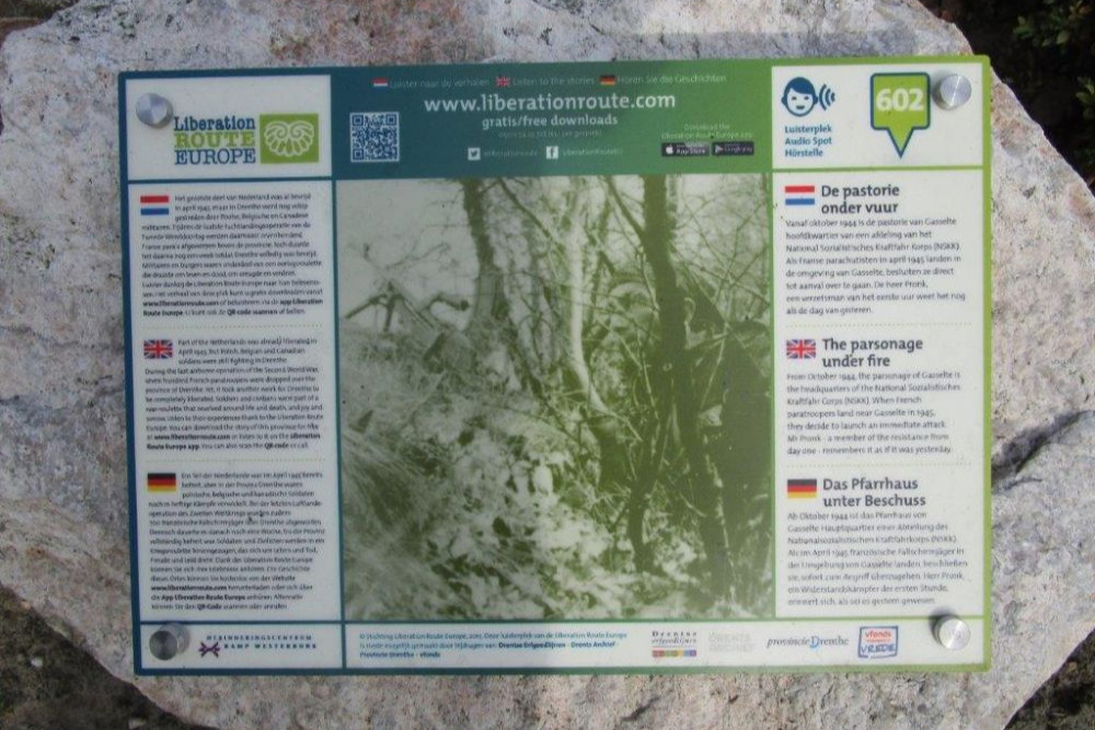
Liberation Route Marker 602: The parsonage under fire
The parsonage under fire
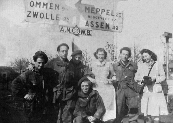
From October 1944, the parsonage of Gasselte is the headquarters of the National Sozialistisches Kraftfahr Corps (NSKK). When French paratroopers land near Gasselte in 1945, they decide to launch an immediate attack. Mr Pronk—a member of the resistance from day one—remembers it as if it was yesterday.
he Nationaal Sozialistisches Kraftfahr Korps consists of Dutch volunteers who are looking for money or food, and work as drivers carrying out transports for the German Wehrmacht. The German commander of this unit, Obersturmführer Klaus, turns the parsonage into his headquarters and forces civilians to accommodate his staff. The authoritarian display by the NSSK and their collusion with the enemy creates tension with the local community. In the early morning of April 8, 60 French paratroopers land in the vicinity of Gasselte. They are part of Operation Amhurst in which no less than 700 French paratroopers are dropped behind German lines.
Their goals are to create chaos amongst the occupiers, organise the resistance and conquer bridges. This is all done to ease the advance of the Allied troops. That entire Sunday, the French paratroopers gather intelligence, secure dropped containers filled with weapons, ammunition and food, and attack German columns. The Germans and the NSKK think that thousands of paratroopers have landed the previous night and do not dare to venture into the woods. The intelligence the French receive from the resistance, mentions the NSKK’s German command post in the parsonage of Gasselte. The paratroopers decide to attack the vicarage and eliminate the staff.
Audiospot - The parsonage under fire
Liberation Route Europe is a certified Cultural Route of the Council of Europe. With hundreds of sites and stories in nine European countries, the route links the main regions along the advance of the Allied Forces in 1943-1945.
The entire route consists of themed routes that can be travelled by by hiking, walking, cycling and car. These routes pass numerous historical and interesting sites and tell stories from a multitude of perspectives that were important in the final phase of World War II.
Many routes feature listening spots, offering the opportunity to listen to a historical story at a location. In addition, many ‘Vectors of Memory’ have been placed, indicating that the passer-by is on one of the Liberation Routes.
The routes can be found on the Liberation Route Europe website or in the app through which many stories can also be listened to.
Do you have more information about this location? Inform us!
Source
- Text: TracesOfWar & Liberation Route Europe
- Photos: Arie van Wijngaarden
Nearby
Point of interest
Monument
- Memorial Fernand Beque Gasselte - Gasselte
- Memorial Paratrooper Robert Heckmann - Gasselte
- War Memorial Gieten - Gieten
Cemetery
- Dutch War Graves Municipal Cemetery Gasselte - Gasselte
- Dutch War Graves Municipal Cemetery Gieten - Gieten
- Commonwealth War Graves Municipal Cemetery Gieten - Gieten
Remembrance Stone
- Stumbling Stones Hoofdstraat 21 - Drouwen
- Stumbling Stones Gasselterweg 24 - Gieten
- Stumbling Bonnen 7 - Gieten


