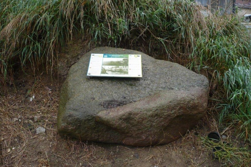
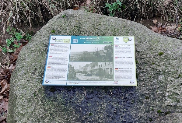
Liberation Route Marker 036: Operation Veritable
Operation Veritable
Mud and more mud. That is the memory of everyone who fought here on the Wylerbaan. Operation Veritable began on the morning of Feb. 8, 1945, with an unimaginably large force advancing into Germany. Due to days of rain, inundations in the Ooijpolder and resistance from the Germans, that advance was very slow.
By the end of 1944, the south of The Netherlands had been liberated as far as the Nederrijn (Lower Rhine), Waal, Lek, Merwede and Maas rivers. The only way the British-Canadian army could invade Germany without having to cross one of these rivers, was through the countryside between the Maas and Rhine rivers known as the Kingdom of Nijmegen (Rijk van Nijmegen). So the British-Canadian army, led by Field Marshal Montgomery and General Crerar, planned a large-scale operation to seize the left bank of the River Rhine. This was to be the British and Canadian troops' largest operation since Normandy, on the smallest of battlefields.
At the beginning of February 1945, almost half a million soldiers, more than 1000 guns and 34,000 vehicles lined the ten-kilometre-long front, ready for battle. Montgomery hoped to reach the Rhine quickly, relying on the cold of winter to have hardened the ground under foot. They started their attack with heavy artillery fire, stunning their opponents. But to their dismay, the frosts had gone and the operation turned into an enormous mud bath. During the first days de British struggled even more against landmines and mud, than the german defense.
Audiospot - Operation Veritable
Liberation Route Europe is a certified Cultural Route of the Council of Europe. With hundreds of sites and stories in nine European countries, the route links the main regions along the advance of the Allied Forces in 1943-1945.
The entire route consists of themed routes that can be travelled by by hiking, walking, cycling and car. These routes pass numerous historical and interesting sites and tell stories from a multitude of perspectives that were important in the final phase of World War II.
Many routes feature listening spots, offering the opportunity to listen to a historical story at a location. In addition, many ‘Vectors of Memory’ have been placed, indicating that the passer-by is on one of the Liberation Routes.
The routes can be found on the Liberation Route Europe website or in the app through which many stories can also be listened to.
Do you have more information about this location? Inform us!
Source
- Text: TracesOfWar & Liberation Route Europe
- Photos: Arie van Wijngaarden (1, 2, 3), Rik van Velzen (4)
Nearby
Museum
Point of interest
- Villa Vogelsangh Groesbeek - Groesbeek
- Information Sign former Monestary Mariendaal Groesbeek - Groesbeek
- Foxholes Duivelsberg - Berg en Dal
Monument
- Memorial James Elwood Wickline - Groesbeek
- Memorial 82nd Airborne Division and Operation Veritable - Groesbeek
- Memorialpark Canada-The Netherlands - Groesbeek
Cemetery
- Groesbeek Memorial Canadian War Cemetery Groesbeek - Groesbeek
- Canadian War Cemetery Groesbeek - Groesbeek
- Dutch War Graves Dutch Reformed Churchyard Groesbeek - Groesbeek
Remembrance Stone
- Stumbling Stone Rijksweg 173 - Mook
- Stumbling Stone Rijksweg 128 - Mook
- Stolpersteine De Hove 13 / 15 (former A 59) - Mook
Fortification
- Trenches on Pyramid Hill - Milsbeek
- Maas-line - Casemate 115S - Katwijk (Cuijk)
- Maas-line - River Casemate South - Katwijk (Cuijk)
