Liberation Route Marker 255: V-sign along the Rhine
V-sign along the Rhine
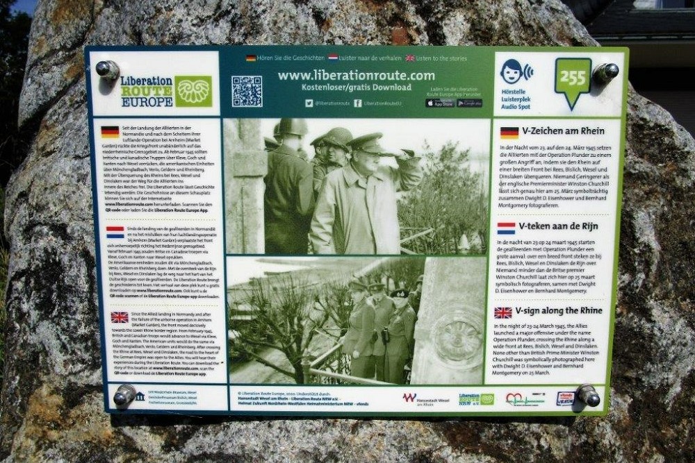
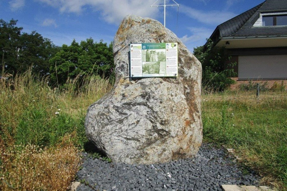
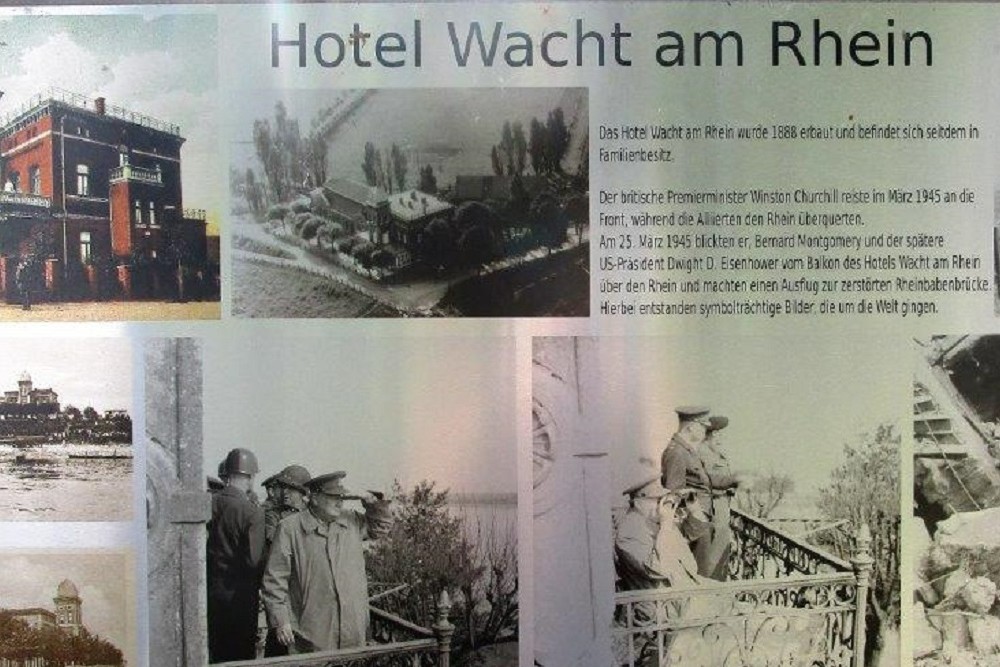
In the night of 23-24 March 1945, the Allies launched a major offensive under the name Operation Plunder, crossing the Rhine along a wide front at Rees, Bislich, Wesel and Dinslaken. None other than British Prime Minister Winston Churchill was symbolically photographed here with Dwight D. Eijsenhower and Bernard Montgomery on 25 March.
On 25 March, the English prime minister Winston Churchill comes to take stock on the banks of the Rhine. Churchill first attended a church service that morning at the English headquarters in Walbeck, a village on the west side of the Lower Rhine. He then drove his chief of staff, sergeant and a few war correspondents in armoured vehicles to the American headquarters in Rheinberg.
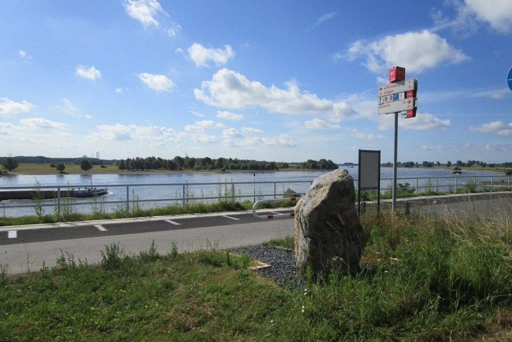
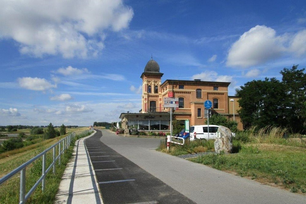
Supreme Commander Allied Expeditionary Force in Western Europe, Dwight D. Eisenhower, tells him about a house, 16 km away in Büderich, which offers a good view of the Rhine and the town of Wesel on the opposite bank. Accompanied by a large security force, Churchill, Eisenhower, Montgomery and the journalists are driven to the house. From the balcony on the first floor of the restaurant "Wacht am Rhein", they have a beautiful view of the river and the land behind it on this sunny day. After the men have been extensively filmed and photographed, Eisenhower returns to his headquarters. Churchill does feel like leaving yet and suggests crossing the Rhine in a landing craft to Montgomery.
Churchill's visit to the troops of the great Rhine crossing is but a footnote in the extensive history of the Second World War. Nevertheless, the images made of this moment are spread across the world and provide extra energy to the Allied side. The road to Berlin is, indeed, open.
Audiospot - V-sign along the Rhine
Liberation Route Europe is a certified Cultural Route of the Council of Europe. With hundreds of sites and stories in nine European countries, the route links the main regions along the advance of the Allied Forces in 1943-1945.
The entire route consists of themed routes that can be travelled by by hiking, walking, cycling and car. These routes pass numerous historical and interesting sites and tell stories from a multitude of perspectives that were important in the final phase of World War II.
Many routes feature listening spots, offering the opportunity to listen to a historical story at a location. In addition, many ‘Vectors of Memory’ have been placed, indicating that the passer-by is on one of the Liberation Routes.
The routes can be found on the Liberation Route Europe website or in the app through which many stories can also be listened to.
Do you have more information about this location? Inform us!
Source
- Text: TracesOfWar & Liberation Route Europe
- Photos: Arie van Wijngaarden
Nearby
Museum
Point of interest
- One Man Bunker Voerde - Voerde
- Railroad Bridge Wesel - Wesel
- Old Bridge Pillar Rhine Promenade Wesel - Wesel
Monument
- Memorial Residents Brauerstraße 26 - Büderich
- Monument for Fallen Soldiers - Büderich
- War Memorial Ginderich - Ginderich (Wesel)
Cemetery
- German War Graves Menzelen - Menzelen
- Franzosenfriedhof Friedrichsfeld - Friedrichsfeld
- German War Cemetery Diersfordt - Diersfordt
Remembrance Stone
- Stumbling Stone Weseler Straße 29 - Moers
- Stumbling Stones Brauerstraße 26 - Wesel
- Stumbling Stones Brauerstraße 26 - Büderich
