Fort at Jutphaas - Dam lock D
The fort at Jutphaas is part of the New Dutch Waterline and defended a narrow strip of land that could not be flooded. The origins of the fort can be traced back to around 1820. The fort was further expanded in 1848, 1871 and 1872. During the Second World War, the fort served as a transmitting station for the German Navy.
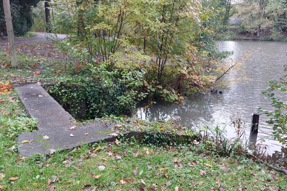
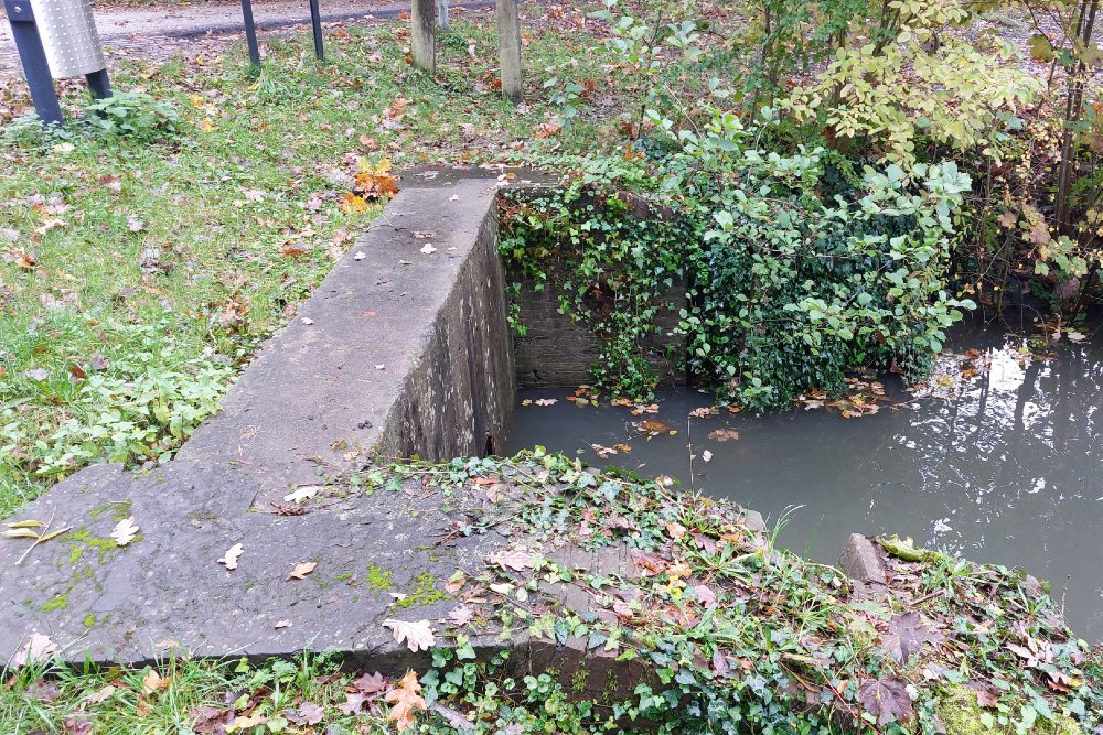
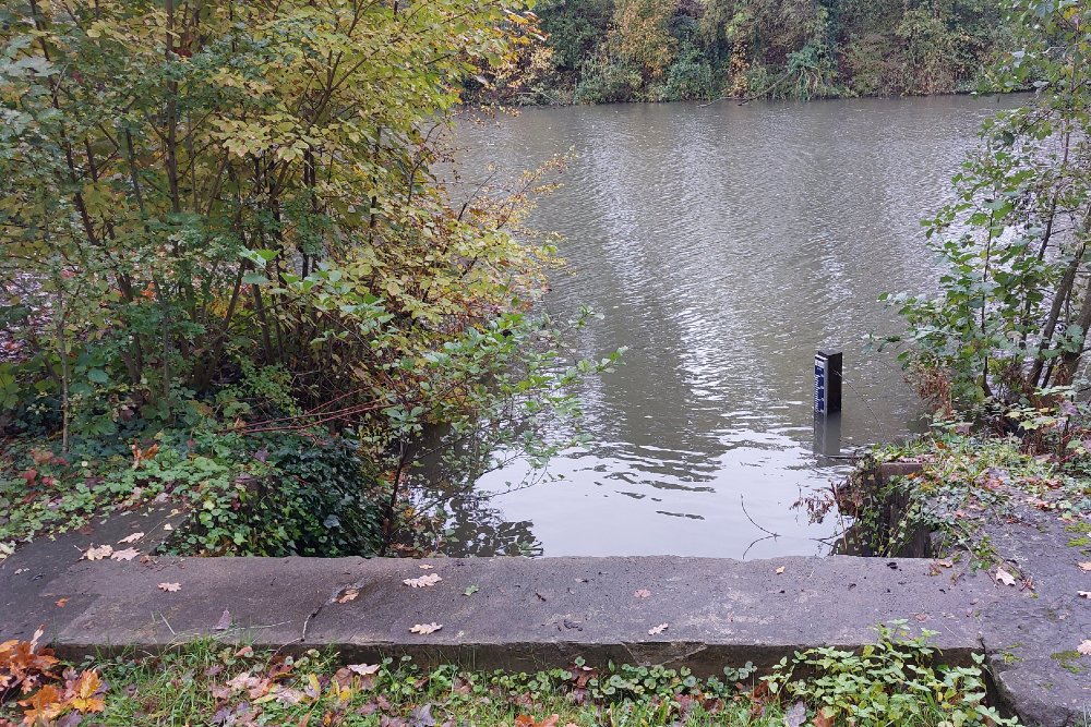
The height of the water in the fort moat is controlled by two dam locks. Dam lock D dates from 1819 and is located on the eastside of the Fort.
Do you have more information about this location? Inform us!
Source
- Text: Peter Schipper
- Photos: Peter Schipper
Nearby
Museum
Point of interest
- Fort at Jutphaas - Fort Keeper's House - Nieuwegein
- Camp Drilleveld Nieuwegein - Jutphaas (Nieuwegein)
- Fort het Hemeltje - Fort Guard House - Houten
Monument
- Memorial Drama of Jutphaas - Jutphaas (Nieuwegein)
- War Memorial Jutphaas (Nieuwegein) - Jutphaas (Nieuwegein)
- Doctors Memorial Utrecht - Utrecht
Cemetery
- Graves War Victims Catholic Churchyard Jutphaas (Nieuwegein) - Jutphaas (Nieuwegein)
- Dutch War Graves Municipal Cemetery Kerkveld (Nieuwegein) - Jutphaas (Nieuwegein)
- Dutch War Grave St. Barbara Churchyard Vreeswijk - Vreeswijk (Nieuwegein)
Remembrance Stone
- Stumbling Stone Julianaweg 22 - Utrecht
- Stumbling Stone Rijnlaan 116 - Utrecht
- Stumbling Stone Balijelaan 53 - Utrecht
Fortification
- Fort Jutphaas - Nieuwegein
- Fort at Jutphaas - Dam lock E - Nieuwegein
- Plofsluis Nieuwe Hollandse Waterlinie - Nieuwegein


