Vector of Memory: Liberation of Appingedam
Liberation of Appingedam
In the early morning hours of Monday, April 23, 1945, the first Canadian soldier entered Solwerderstraat in Appingedam with determination. A crucial moment during intense battles, where each house was meticulously searched for the presence of German soldiers.
However, progress was abruptly interrupted by enemy German artillery along the coast, forcing the brave liberators to seek cover. These battles were accompanied by significant damage to numerous buildings and houses in the vicinity of the strategic Oosterdraaibrug.
By ten o'clock in the morning, the majority of Appingedam was firmly in the hands of Canadian troops. To accommodate the abundance of German prisoners of war, the Town Hall proved inadequate, and additional housing was found in Hotel Kraaima, now known as the Wapen van Leiden. The Nicolaikerk was also used as an observation post, strategically located in the midst of the liberated city.
However, after the liberation of Appingedam, new challenges emerged. German artillery units stationed in Delfzijl, Nansum, de Fiemel, and on Borkum directed their fire at the liberated city, forcing the local population to seek shelter. In response, the Dutch resistance, at the request of Canadian authorities, imposed a strict curfew to prevent overenthusiastic residents from taking to the streets to celebrate the long-awaited liberation.
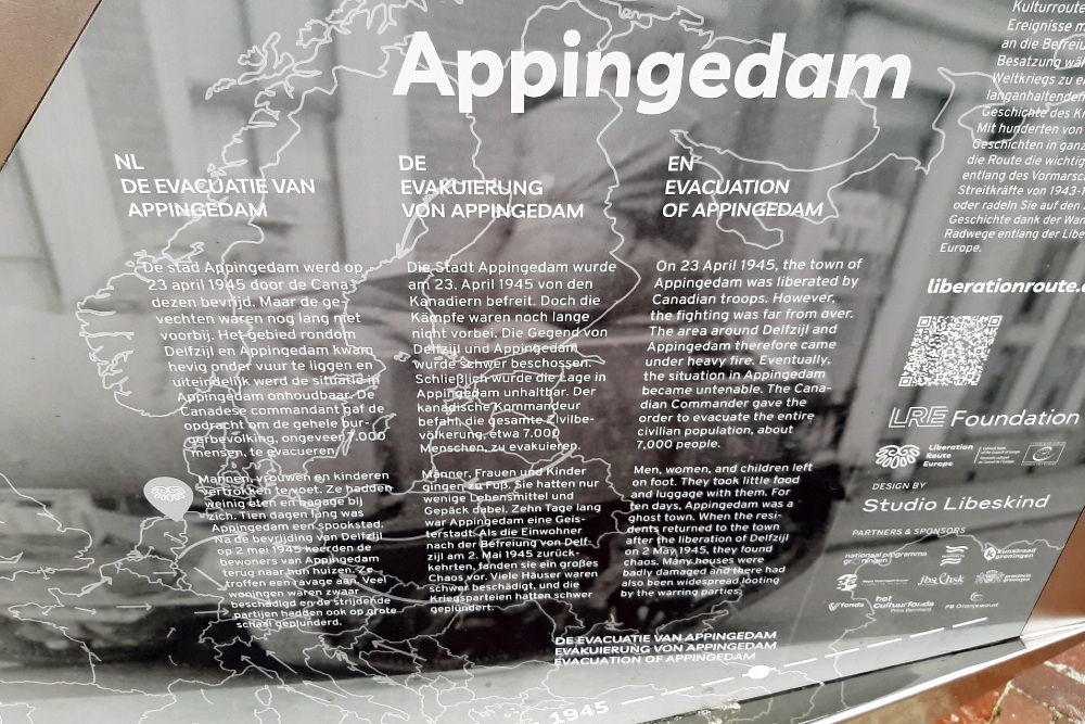
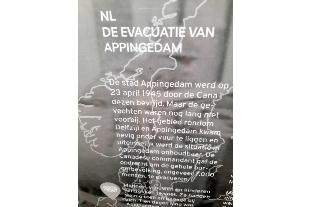
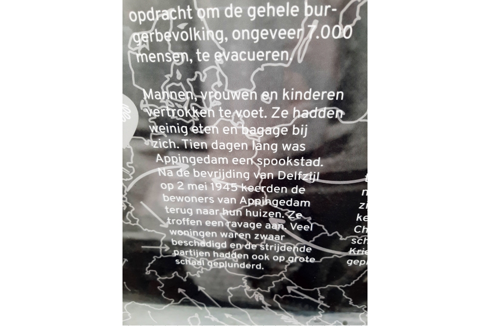
In the aftermath of intense German shelling and the evacuation order from the Canadian army, the residents of Appingedam quickly abandoned their city. By nightfall, all 7,000 inhabitants had left the municipal boundaries, with many of them ending up in surrounding towns after an exhausting journey on foot. Only a handful of residents remained in the heavily damaged city. Their dedication manifested in caring for the dead and wounded, extinguishing fires, and futile attempts to prevent Canadian troops from looting vacant houses.
A day after the liberation of Delfzijl on May 2, 1945, a decision was made: the population was allowed to return. However, the spectacle that awaited them was disheartening. Of the approximately 2,000 buildings that once adorned the city, only about thirty remained untouched after the crushing German bombings.
Liberation Route Europe is a certified Cultural Route of the Council of Europe. With hundreds of sites and stories in nine European countries, the route links the main regions along the advance of the Allied Forces in 1943-1945.
The entire route consists of themed routes that can be travelled by by hiking, walking, cycling and car. These routes pass numerous historical and interesting sites and tell stories from a multitude of perspectives that were important in the final phase of World War II.
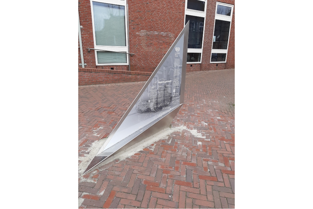
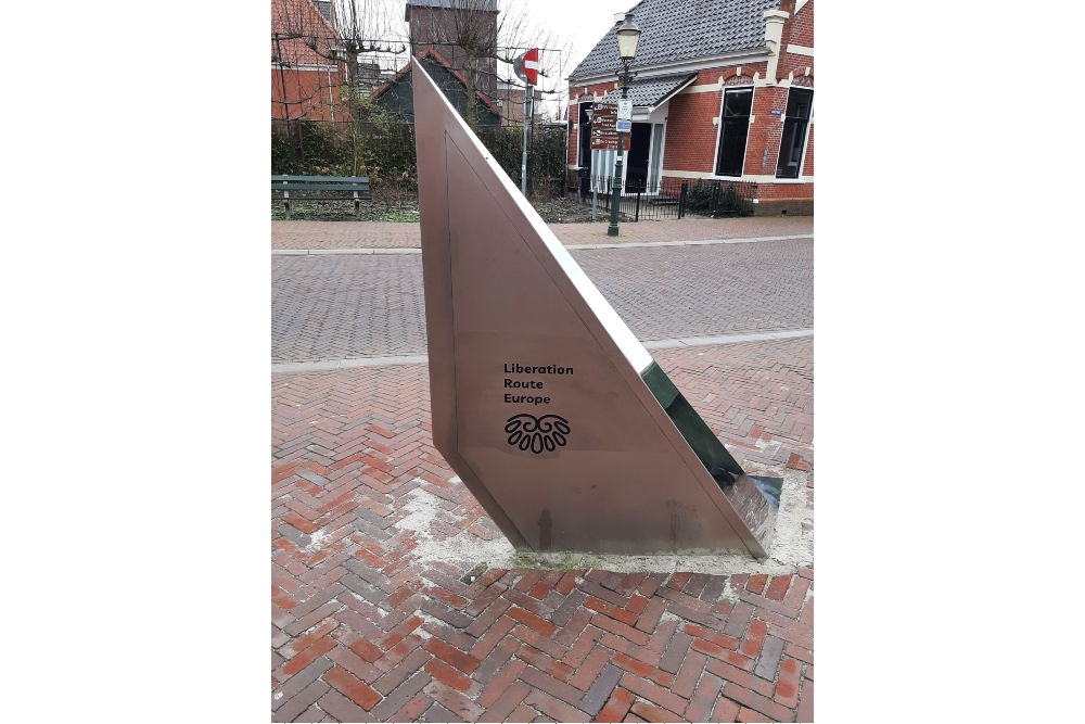
A separate group within the routes are the Vectors of Memory designed by renowned architect Daniel Libeskind. They form a symbolic family of landmarks that honor people, places and stories in the European landscape. The vectors are a topography of memory. They act as points in both space and time and connect to the liberation story. It is important that the markers convey a clear and powerful message.
There are 4 types of vectors:
- The Remembrance Site Vector
- The Crossroads Vector
- The Wall Vector
- The Floor Vector
For more information on the Vectors of Memory see the Liberation Route Europe site: https://www.lre-foundation.org/vectors-of-memory/.
The routes can be found on the website of Liberation Route Europe or in the app through which many stories can also be listened to.
The routes can be found on the Liberation Route Europe website or in the app through which many stories can also be listened to.
Do you have more information about this location? Inform us!
Source
- Text: TracesOfWar & Liberation Route Europe
- Photos: Bert Deelman
Nearby
Point of interest
- Bullet Impacts Wijkstraat - Appingedam
- Bullet Impacts Wilhelminaweg - Appingedam
- Bullet Impacts Stationsweg 30 - Appingedam
Monument
- Jewish Monument Old Town Hall - Appingedam
- Memorials Old Town Hall Appingedam - Appingedam
- War Memorial Appingedam - Appingedam
Cemetery
- Dutch War Graves Rusthof - Appingedam
- Dutch War Grave Opwierde - Appingedam
- Dutch War Grave Tjamsweer - Appingedam
Remembrance Stone
- Stumbling Stones Dijkstraat 25 - Appingedam
- Stumbling Stones Goudenpand 10 - Appingedam
- Stumbling Stones Dijkstraat 36 - Appingedam
