Amuri Field Airstrip Aitutaki

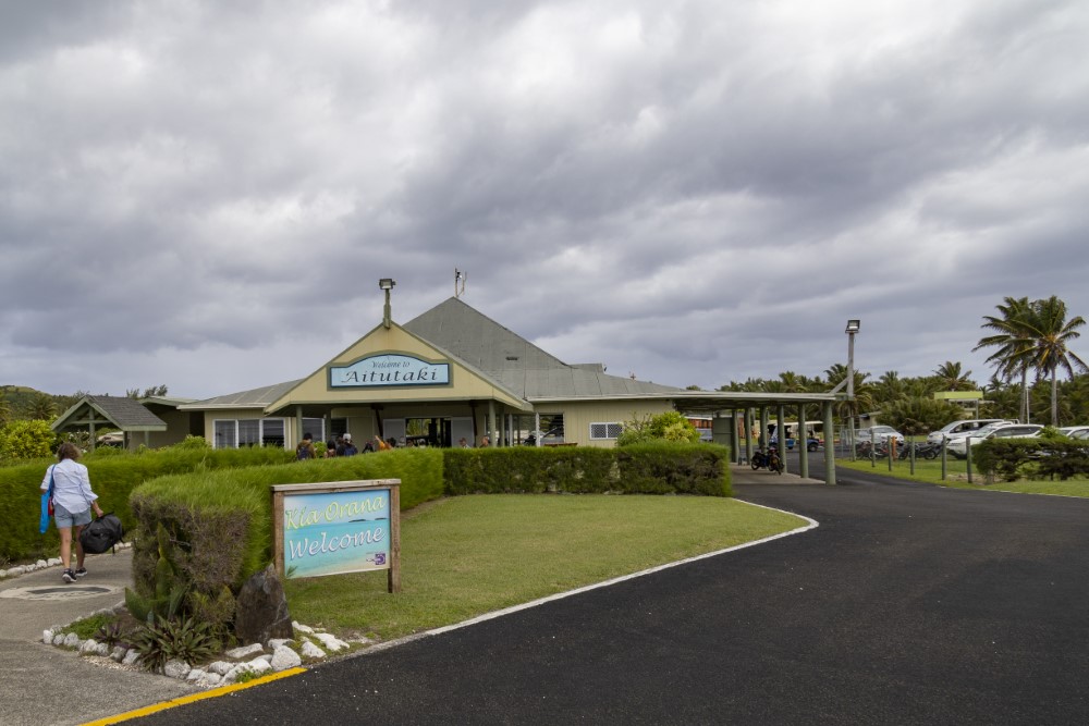
On the Cook Islands Aitutaki's airfield today is the most visible and positive legacy of WWII, bringing hundreds of visitors to the island each year and providing vital transport, supply and communication links for the island.
After the Japanese attack on Pearl Harbour in December 1941, and as Japanese armed forces moved into Asia and out into the Pacific, the United States War Department became increasingly concerned about the viability of its Pacific air routes. New routes from the airbase in Hawaii, primarily to Australia and then as far north as Manila needed to be established.
Aitutaki and Penrhyn, in the Cook Islands, were among six Pacific islands chosen to form one of these vital links. The relative safety of this route later earned its title "The Milk Run": Hickam Field (Hawaii), Christmas Island (Kiribati), Penrhyn (Cook Islands), Bora-Bora (French Polynesia), Aitutaki (Cook Islands) Tutuila (American Samoa) and Nadi (Fiji).
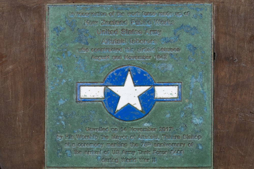
The Amuri Field airstrip was completed by private contractors, the New Zealand Public Works and local labour by November 1942.
Initially the US Army stationed 850 men on Aitutaki in November 1942, but as it became apparent that the war was unlikely to spread this far south, most of these men were deployed further North. Eventually, only a "Token Garrison" of 12 US military personnel were to remain on Aitutaki to keep open the airfield and provide a weather service.
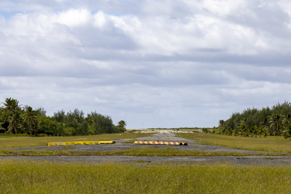
Two airstrips were constructed on what was previously a low lying and partial swampy peninsula. One landing strip 1829m by 61m ran North-South. The other strip of 1555m by 61m ran in an East-West direction at the northern end of the field.
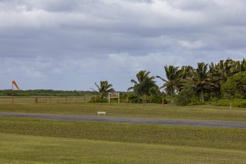
The North-South strip is still in use and was bitumen sealed in 2003 as part of an upgrade to passenger jet standards.
The air base on Aitutaki is reputed to have cost the US four and a half million dollar.
Do you have more information about this location? Inform us!
Source
- Text: Martin Damen
- Photos: Martin Damen

Looking for reliable information or news facts about WW2? Do you want to create your own battlefield tour to sights of wars from the past? Or are you interested in war medals and their recipients? TracesOfWar.com tells you more!
More information

© STIWOT, 1999-2025. All rights reserved. Privacy statement, cookies, disclaimer and copyright