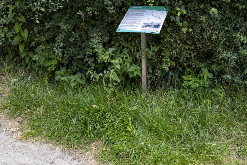
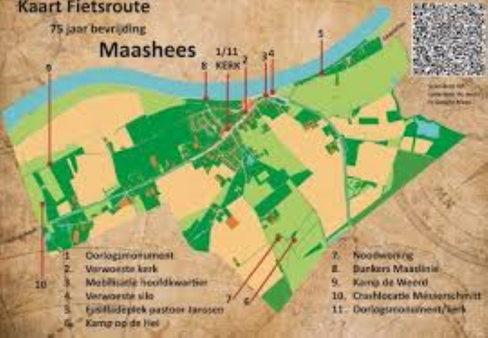
Cycling Route Maashees - Bunkers Maaslinie

In the past, the Netherlands has made extensive use of water for defense.
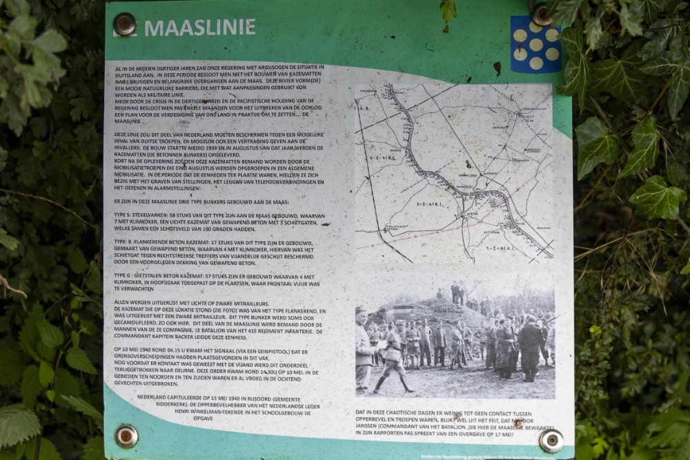
This also applies to the location where we are now: the Maaslinie. The other lines were made on the basis of flooding an area. This was of course not necessary here, as the mesh already formed (and of course still forms) a natural barrier.
The Maas line lay along the western riverbank from the Belgian border in the south of Limburg to the Maas-Waal canal near Katwijk. There the line connected to the IJssel line. The North Brabant part of the Maas line ran from Maashees to Katwijk.
The areas between and around the bridges were given a line of casemates of different types (s, b and g). The first casemates, which were intended to prevent enemy crossings of the Meuse, were constructed in 1936. The goal was a possible to delay the attack, so that the defenders of the peel/window position had more time to prepare for the next attack. It was not until 1939 that the construction of further fortifications got underway.
Unfortunately, on May 10, 1940, the Germans managed to capture the railway bridge at Gennep intact, allowing an armored train with troops to break through towards Mill. All other bridges could be blown up in time.
Heavy fighting broke out in several places with German troops trying to cross the river by rubber boat, including near Katwijk.
Do you have more information about this location? Inform us!
Source
- Text: TracesOfWar
- Photos: Martin Damen

Nearby
Museum
- Museum "Van Postzegel tot Tank" - Groeningen
- War Museum Overloon - Overloon
- Exposition 40-45 - Blitterswijck
Point of interest
- Cycling Route Maashees - War Memorial Church - Maashees
- Cycling Route Maashees - Maashees During the War - Maashees
- Cycling Route Maashees - Destroyed Church - Maashees
Monument
- Maria chapel - Maashees
- Liberation Route Marker 118: Refugee - Holthees
- War Memorial Holthees - Holthees
Cemetery
- Dutch War Graves Venray - Venray
- Commonwealth War Cemetery Overloon - Overloon
- Dutch War Graves Roman Catholic Cementery Blitterswijck - Blitterswijck
Remembrance Stone
- Stumbling Stone Spoorstraat 1 - Tienray
- Stumbling Stone Spoorstraat 10 - Tienray
- Stumbling Stone Spoorstraat 21 - Tienray
Crash site
Looking for reliable information or news facts about WW2? Do you want to create your own battlefield tour to sights of wars from the past? Or are you interested in war medals and their recipients? TracesOfWar.com tells you more!
More information

© STIWOT, 1999-2025. All rights reserved. Privacy statement, cookies, disclaimer and copyright