Austrian Forts Blankenheim


The French Revolution of 1789 was to have an impact on the whole of Europe. In the event of a French attack, a close alliance was formed between Prussia and Austria. France now felt threatened by this and declared war on Austria on 20.4.1792.
At the beginning of this war, Prussians and Austrians were successful, but already at the first major clash of the troops on 20 September 1792, the so-called cannonade of Valmy, France could not be defeated, and the allies had to retreat. Now it is the turn of the French and advances on the territory of the Reich.
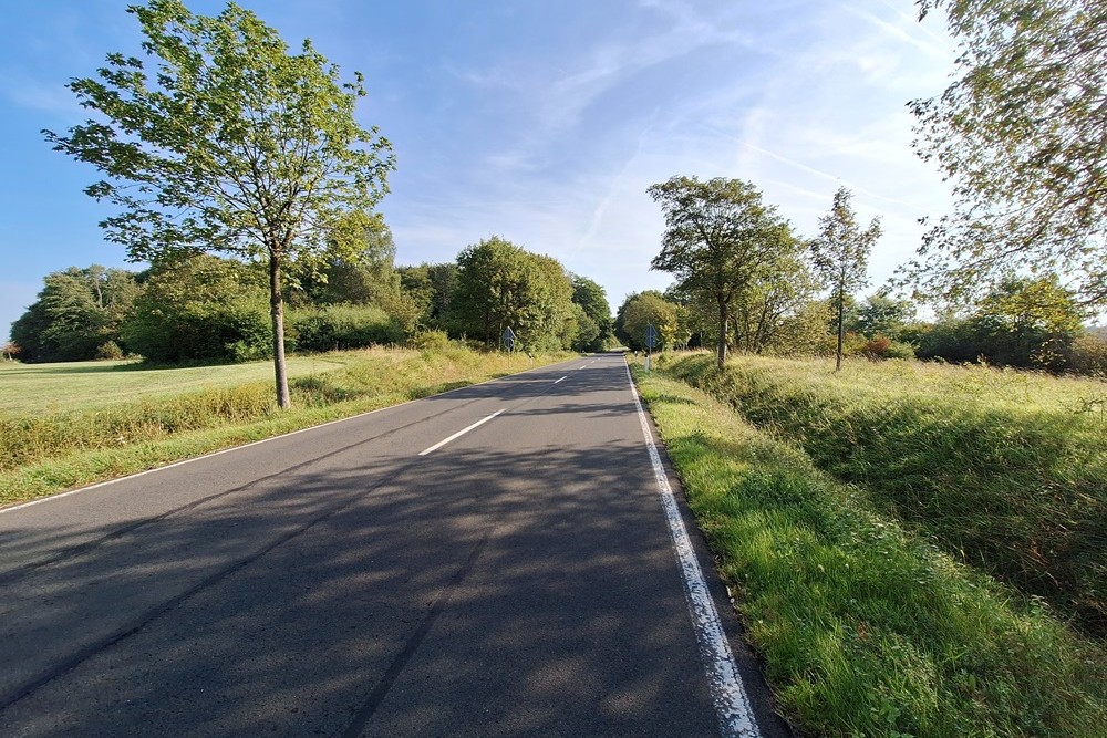
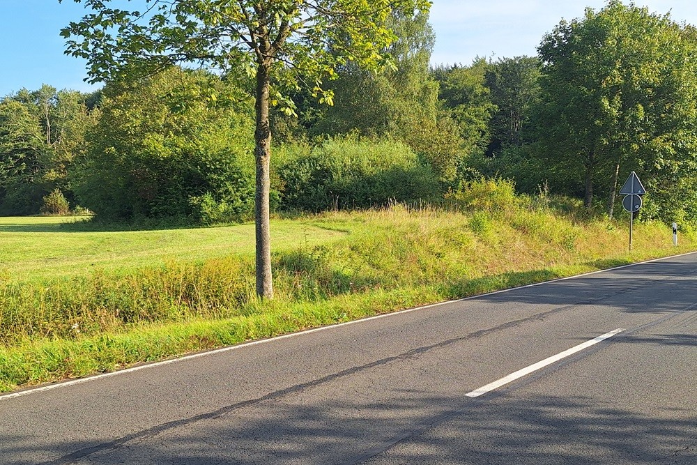
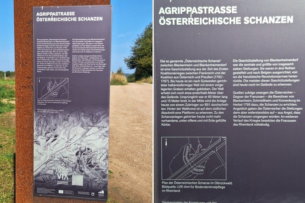
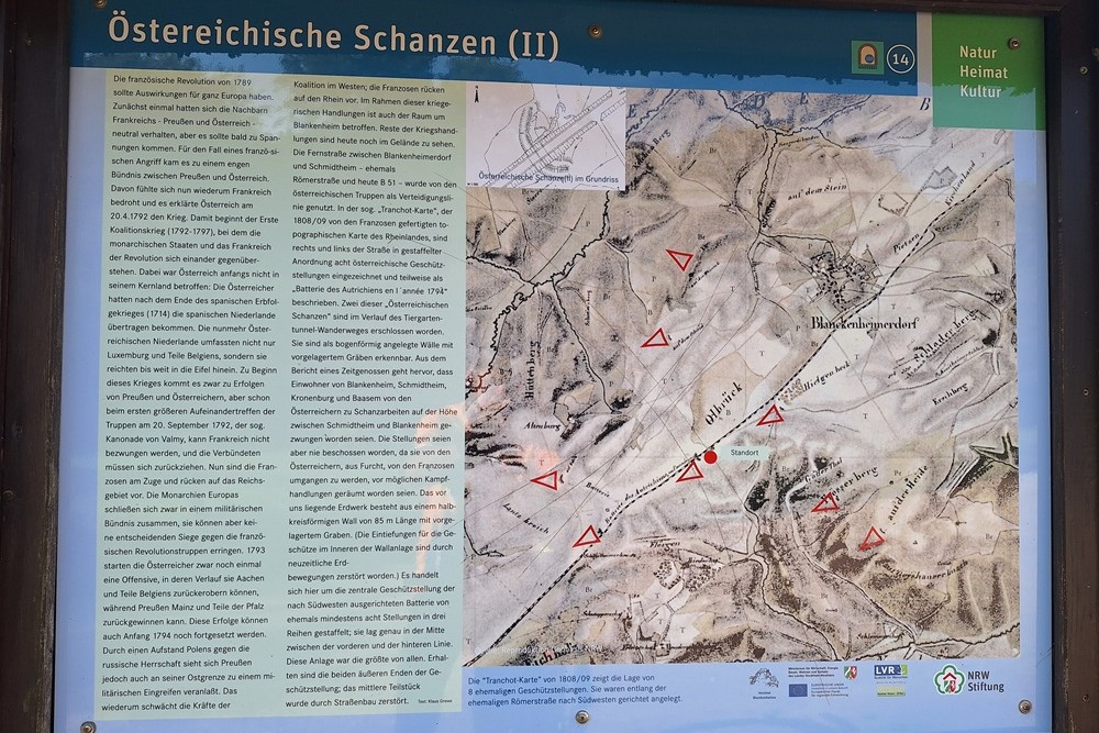
In the context of these acts of war, the area around Blankenheim is also affected. Remnants of the acts of war can still be seen in the terrain today. The highway between Blankenheimerdorf and Schmidtheim – formerly the Roman road and now the B 51 – was used by the Austrian troops as a line of defence. In the so-called "Tranchot Map", the topographical map of the Rhineland made by the French in 1808/09, eight Austrian gun emplacements are marked to the right and left of the road in staggered arrangement and some of them are described as "Battery of Autrichiens en l ́année 1794". Two of these "Austrian ski jumps" have been developed in the course of the Tiergarten Tunnel hiking trail. They are recognizable as arch-shaped ramparts with a ditch in front.
The earthwork in front of us consists of a semicircular rampart 85 m long with a ditch in front. (The depressions for the guns inside the rampart have been destroyed by modern earth movements.) This is the central gun position of the southwest-facing battery of at least eight positions formerly staggered in three rows; it was exactly halfway between the front and the back line. This facility was the largest of all. The two outer ends of the gun emplacement have been preserved; the middle section was destroyed by road construction.
Do you have more information about this location? Inform us!
Source
- Text: TracesOfWar
- Photos: Hans Tasma

Nearby
Point of interest
Monument
- War Memorial Blankenheimerdorf - Blankenheimerdorf
- War Memorial Blankenheim - Blankenheim
- War Memorial Cemetery Schmidtheim - Schmidtheim (Dahlem)
Cemetery
- German War Grave Schmidtheim - Schmidtheim (Dahlem)
- German War Graves Ripsdorf - Ripsdorf
- German War Graves Marmagen - Marmagen
Remembrance Stone
- Stumbling Stone Formegey 8 - Zingsheim (Nettersheim)
- Stumbling Stone Formegey 7 - Zingsheim (Nettersheim)
Fortification
Looking for reliable information or news facts about WW2? Do you want to create your own battlefield tour to sights of wars from the past? Or are you interested in war medals and their recipients? TracesOfWar.com tells you more!
More information

© STIWOT, 1999-2025. All rights reserved. Privacy statement, cookies, disclaimer and copyright