Brenessel 1 Brielle
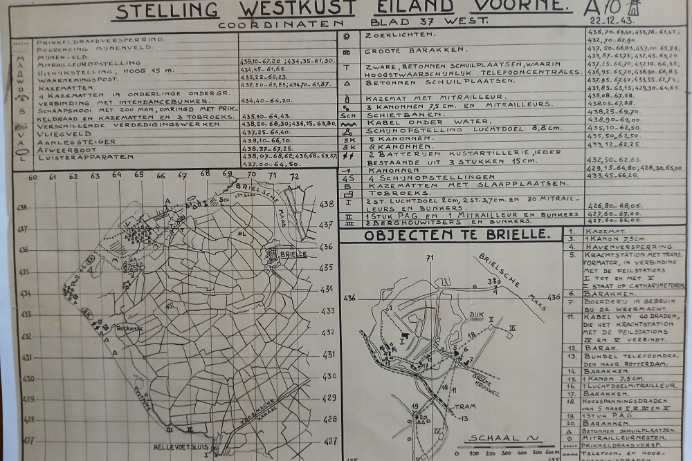
At this location stood the Jägerleit Stellung codenamed ‘Brenessel 1’. Five towers and a gauge station were used to determine the position of fighter pilots. Three towers stood at this location, while the other two were located near the Spui in today's Nieuwland district. The survey station was located on the Dom tower (church).
The stellung was in operation until 1944. After the 1944 inundation of the island of Voorne-Putten, the site was kept dry by an emergency dike. The characteristic T-shaped building remained in use as business premises after the war. When the current supermarket was built, this last visual trace disappeared.
Do you have more information about this location? Inform us!
Source
- Text: Adri Kramer
- Photos: Adri Kramer
Nearby
Museum
- Museum Ship "Hudson" - Maassluis
- Biber Bunker - Oostvoorne
- Museum Ship De Buffel Hellevoetsluis - Hellevoetsluis
Point of interest
- German Decoy Airfield Zwartewaal - Zwartewaal
- Brenessel 2 Nieuwenhoorn - Nieuwenhoorn
- Ammunition disaster Heenvliet - Heenvliet
Monument
- Jewish Memorial Brielle - Brielle
- War Memorial Brielle - Brielle
- Dutch East Indies & Korea Memorial Brielle - Brielle
Cemetery
- Dutch War Graves Oude Cemetery Brielle - Brielle
- Commonwealth War Grave Old Cemetery Brielle - Brielle
- Dutch War Grave Roman Catholic Cemetery - Brielle
Remembrance Stone
- Stumbling Stones Nobelstraat 10 - Brielle
- Stumbling Stones Voorstraat 42 - Brielle
- Stumbling Stones Koopmanstraat 7 - Brielle
Fortification
- Defense Wall Peltsersdijk Fortress - Brielle
- German bunker Oostvoorne - Oostvoorne
- Kabelschaltstelle Oostvoorne - Oostvoorne


