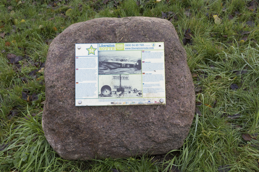
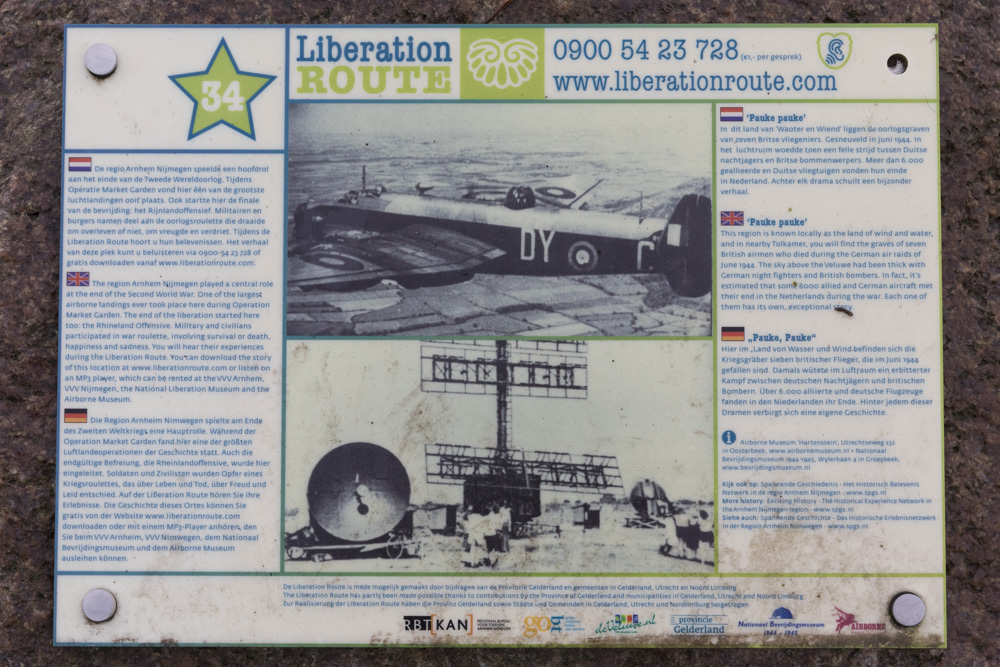
Liberation Route Marker 034: Pauke pauke!
Pauke pauke!
Known locally as the land of wind and water, this region has great stretches of marshlands and rivers. If you head towards Tolkamer, you can see the graves of seven British airmen who died during the German air raids of June 1944. That June, the sky above the Veluwe was thick with German night fighters and British bombers. In fact, it's thought that some 6000 aircraft from the countries that fought in the war, met their end in The Netherlands. Each one with its own story.
Right from the start of the Second World War, the Dutch skies had been targeted as an ideal theatre for aerial combat between the Allied and the German air forces. This was partly due to its geography: sandwiched between England and Germany, and partly due to its landmarks (for example the IJsselmeer lake), which are easy to spot from the sky, making it an easy airspace to navigate. As a result, The Netherlands became the backdrop for regular dogfights and the Germans set up considerable air defences on the ground. Radar stations, anti-aircraft guns and airfields were set up to protect the German Third Reich.
The Netherlands was to become the first line of German aerial defences with hundreds of fighter planes and some of the Luftwaffe's finest pilots, operating from Dutch airfields. Aerial combat took place during the night as well as during the day: the American heavy bombers flew over The Netherlands to Germany during the day, and the British at night. Radar helped the German night fighters to track the British bombers and they would attack them from underneath where the bombers were most vulnerable. The only way to survive being hit was to try and stop the bomber from spinning out of control. Sometimes it worked, and sometimes it did not.
Audiospot - Pauke pauke!
Liberation Route Europe is a certified Cultural Route of the Council of Europe. With hundreds of sites and stories in nine European countries, the route links the main regions along the advance of the Allied Forces in 1943-1945.
The entire route consists of themed routes that can be travelled by by hiking, walking, cycling and car. These routes pass numerous historical and interesting sites and tell stories from a multitude of perspectives that were important in the final phase of World War II.
Many routes feature listening spots, offering the opportunity to listen to a historical story at a location. In addition, many ‘Vectors of Memory’ have been placed, indicating that the passer-by is on one of the Liberation Routes.
The routes can be found on the Liberation Route Europe website or in the app through which many stories can also be listened to.
Do you have more information about this location? Inform us!
Source
- Text: TracesOfWar & Liberation Route Europe
- Photos: Arjan Vrieze
Nearby
Museum
Point of interest
- Remains Railway Bridge in the Zevenaar - Griethausen section - Emmerich
- Bullet Impacts Grave Memorial Friedhof Hoch Elten - Hoch Elten
- Information Panel Railway Ferry across the Rhine - Emmerich am Rhein
Monument
- Memorial Tolkamer - Tolkamer
- War Memorial Keeken - Keeken
- Liberation Route Marker 033: Exodus - Millingen aan de Rijn
Cemetery
- Commonwealth War Graves General Cemetery Tolkamer - Tolkamer
- Memorial Stone Reinhold Franck Cemetery Keeken - Keeken
- Dutch War Graves Roman Catholic Cemetery Lobith - Lobith
Remembrance Stone
- Stumbling Stones Eltener Markt 3 - Elten
- Memorial Stone Jewish War Victims - Zevenaar
- Stumbling Stones Grietsestraat 54 - Zevenaar


