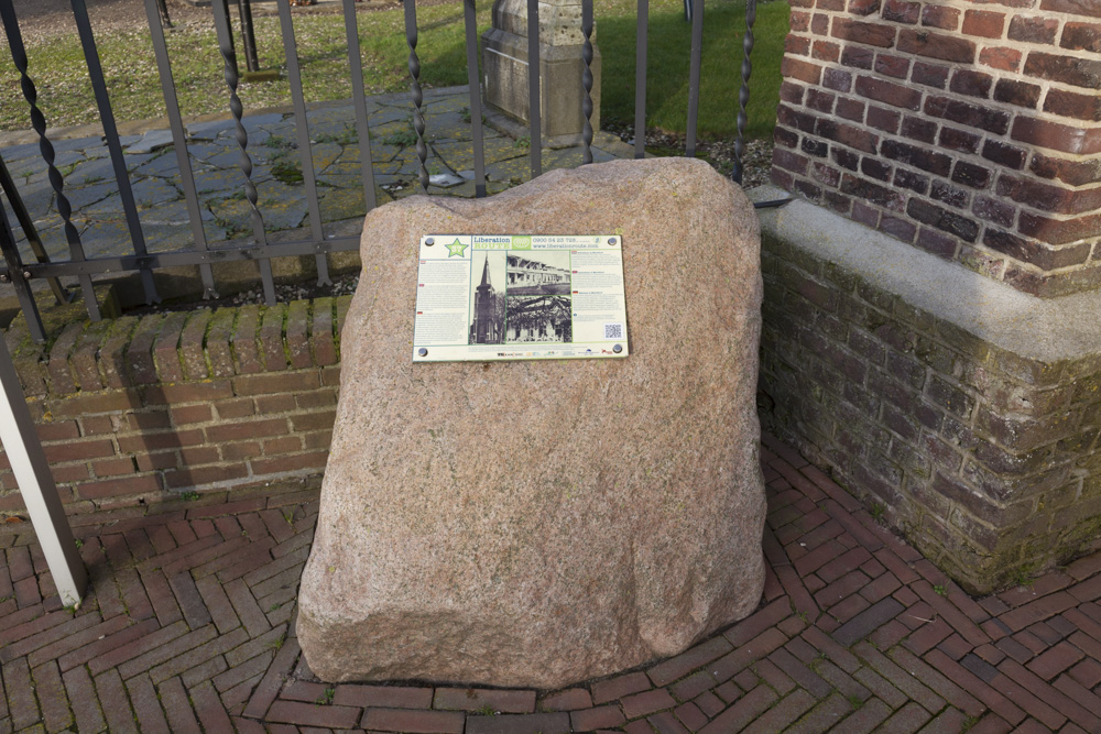
Liberation Route Marker 037: Sinterklaas at Mariaoord
Sinterklaas at Mariaoord
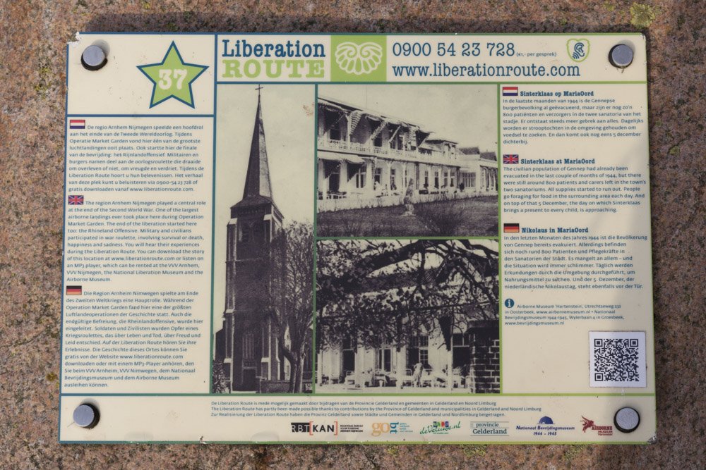
The civilian population of Gennep had already been evacuated in the last couple of months of 1944, but there were still around 800 patients and carers left in the town's two sanatoriums. All supplies started to run out. People go foraging for food in the surrounding area each day. And on top of that 5 December, the day on which Sinterklaas brings a present to every child, is approaching.
Tuberculosis was still rife in The Netherlands in the twentieth century, and in 1918, a sanatorium was built in Gennep to provide care for sufferers of this disease. In the years that followed, the Mariaoord sanatorium grew into a health resort with more than one hundred beds and a separate health resort for aftercare called 'Zon-licht-heide' (Sun-light-heath). Then when the front lines came to a standstill at the end of September 1944, military forces started evacuating the people. This included the residents of Gennep in the week starting the 15th October 1944.
However, the Mariaoord sanatorium and 'Zon-licht-heide' health resort were not evacuated out of fear of infection and a complicated evacuation procedure. Consequently, the resorts turned into two inhabited islands in an otherwise deserted village. Evacuees from the surrounding area were given (temporary) shelter there, but with the front lines so close by, it was not uncommon for the occasional British shell to fall nearby, like the one that hit the children's ward on 30th October 1944. In December 1944, after the St. Nicholas celebrations, both of these institutions were evacuated. The patients were taken to Winterswijk.
Audiospot - Sinterklaas at Mariaoord
Liberation Route Europe is a certified Cultural Route of the Council of Europe. With hundreds of sites and stories in nine European countries, the route links the main regions along the advance of the Allied Forces in 1943-1945.
The entire route consists of themed routes that can be travelled by by hiking, walking, cycling and car. These routes pass numerous historical and interesting sites and tell stories from a multitude of perspectives that were important in the final phase of World War II.
Many routes feature listening spots, offering the opportunity to listen to a historical story at a location. In addition, many ‘Vectors of Memory’ have been placed, indicating that the passer-by is on one of the Liberation Routes.
The routes can be found on the Liberation Route Europe website or in the app through which many stories can also be listened to.
Do you have more information about this location? Inform us!
Source
- Text: TracesOfWar & Liberation Route Europe
- Photos: Arjan Vrieze
Nearby
Museum
- Museum Remember September 1944 - Mook
- Freedom Museum - Groesbeek
- Museum "Van Postzegel tot Tank" - Groeningen
Point of interest
- Remains Sint Martinuschurch Gennep - Gennep
- Information Sign Niersbridge Gennep - Gennep
- Protestant Church Gemmep - Gennep
Monument
- Liberation Route Marker 007: The Capture of Gennep - Gennep
- War Memorial Gennep - Gennep
- Memorials 1940-1945 Gennep - Gennep
Cemetery
- Commonwealth War Graves Roman Catholic Cemetery Ottersum - Ottersum
- Dutch War Grave Roman Catholic Cemetery Ottersum - Ottersum
- Dutch War Grave Gennep - Gennep
Remembrance Stone
- Stumbling Stones Markt 15 - Gennep
- Stumbling Stones Houtstraat 4-6 - Gennep
- Stumbling Stones Zandstraat 6 - Gennep
Fortification
- River Bunker South Maas-line Oeffelt - Oeffelt
- River Bunker North Maas-line Oeffelt - Oeffelt
- River Bunker South Maas-line Oeffelt - Oeffelt


