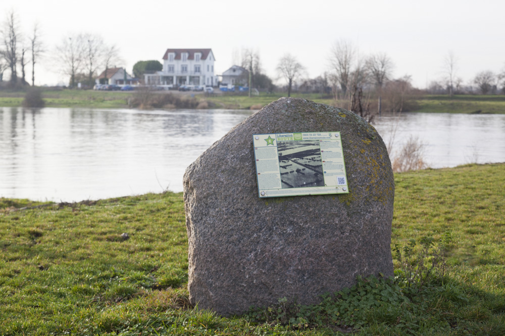
Liberation Route Marker 006
Liberation Route Europe is a certified Cultural Route of the Council of Europe. With hundreds of sites and stories in nine European countries, the route links the main regions along the advance of the Allied Forces in 1943-1945.
The entire route consists of themed routes that can be travelled by by hiking, walking, cycling and car. These routes pass numerous historical and interesting sites and tell stories from a multitude of perspectives that were important in the final phase of World War II.
Many routes feature listening spots, offering the opportunity to listen to a historical story at a location. In addition, many ‘Vectors of Memory’ have been placed, indicating that the passer-by is on one of the Liberation Routes.
The routes can be found on the Liberation Route Europe website or in the app through which many stories can also be listened to.
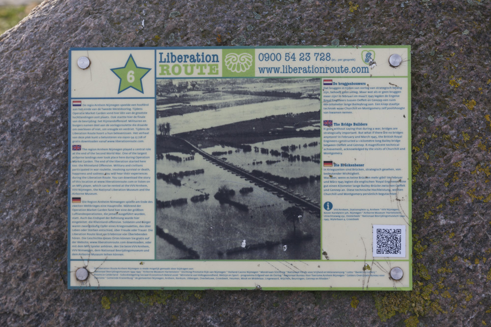
The Bridge Builders
It goes without saying that during a war, bridges are strategically important. But what if there are no bridges anymore? In February and March 1945, the British Royal Engineers constructed a more than 1,200 metres long Bailey bridge between Oeffelt and Gennep. A magnificent technical achievement, acknowledged by the visits of Churchill and Montgomery.
The restaurant on the Brabant side of the river Maas is the Oeffelt Ferry House (Veerhuis Oeffelt). For centuries, people and livestock were carried over the river by the ferryman here. In mid-1944, the area around the Ferry House had been liberated, but the Limburg side of the Maas was German-occupied territory.
Every evening, the British troops withdrew to the village of Oeffelt. German soldiers and their prisoners dug trenches in the fields along their side of the Maas. At some point, their enemies would attempt the river crossing. This situation, with the river as physical separation between the British on the Brabant bank and the Germans on the Limburg side, lasted until February 1945. Then the Allies decided to advance.
The Bailey Bridge between Gennep and Oeffelt became the longest river span built during World War II. The impressive bridge was built by the British Royal Engineers and consisted of bridge elements on pontoons. Gennep was liberated on 12 February 1945 and construction started immediately. On 20 February 1945, the bridge was completed and the first vehicles made the crossing.
The Bailey Bridge had been designed by Captain Hunt and Lieutenant Lambrechtsen of Ritthem, a former 'Rijkswaterstaat' engineer. The latter's knowledge was important to be able to use the bridge at different water levels. Indeed, the water level was high due to the large amount of precipitation. Moreover, the retreating German army had blown up the installations in the Ruhr dams and extra water was entering the Meuse at Roermond.
Thanks to this Bailey Bridge, Montgomery was able to cross the Rhine a few weeks later, in late 1945, with the aim of taking the Ruhr area. The bridge at Gennep remained in use until well after the Second World War, when a permanent bridge could be built.
Audiospot - The Bridge Builders
Do you have more information about this location? Inform us!
Source
- Text: TracesOfWar & Liberationroute.com
- Photos: Arjan Vrieze
Nearby
Museum
- Museum Remember September 1944 - Mook
- Freedom Museum - Groesbeek
- Museum "Van Postzegel tot Tank" - Groeningen
Point of interest
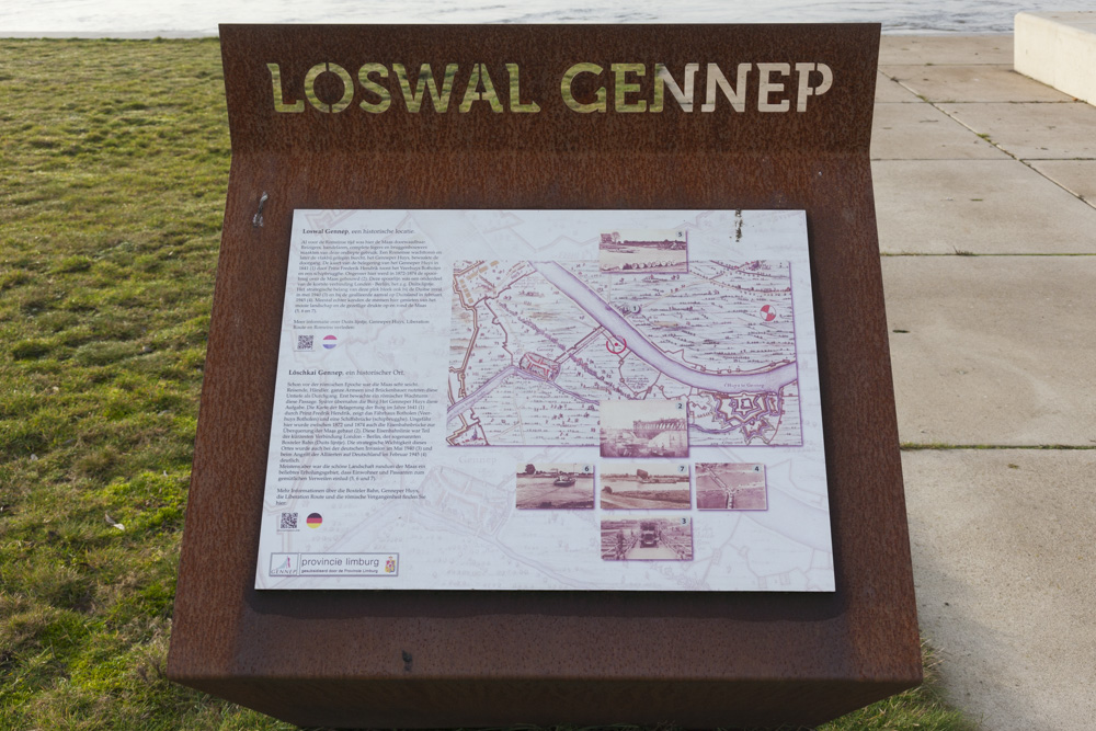
- Information Sign The Maas Bridge at Gennep - Oeffelt
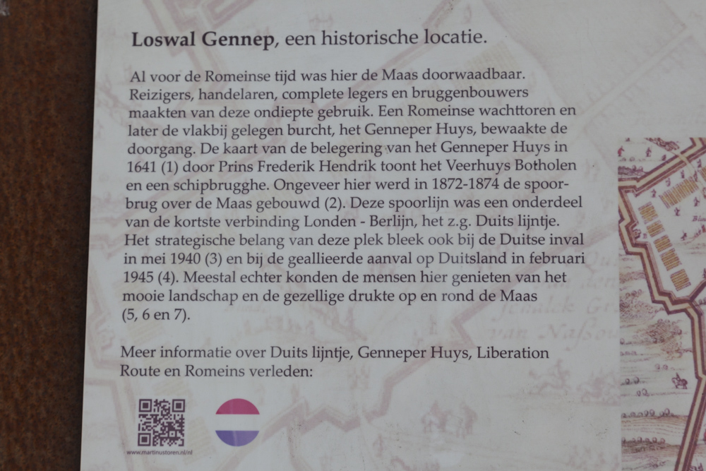
- Location Former Rail Bridge Maas River - Gennep
- Protestant Church Gemmep - Gennep
Monument
- Memorial Longest Bailey Bridge - Lambrechtsen Bridge - Gennep
- Memorial Longest Bailey Bridge - Lambrechtsen Bridge - Oeffelt
- Liberation Route Marker 037 - Gennep
Cemetery
- Commonwealth War Graves Roman Catholic Cemetery Ottersum - Ottersum
- Dutch War Grave Roman Catholic Cemetery Ottersum - Ottersum
- Dutch War Grave Gennep - Gennep
Remembrance Stone
- Stumbling Stones Zandstraat 6 - Gennep
- Stumbling Stones Markt 15 - Gennep
- Stumbling Stones Brugstraat 16 - Gennep
Fortification
- River Bunker South Maas-line Oeffelt - Oeffelt
- River Bunker North Maas-line Oeffelt - Oeffelt
- River Bunker South Maas-line Oeffelt - Oeffelt


