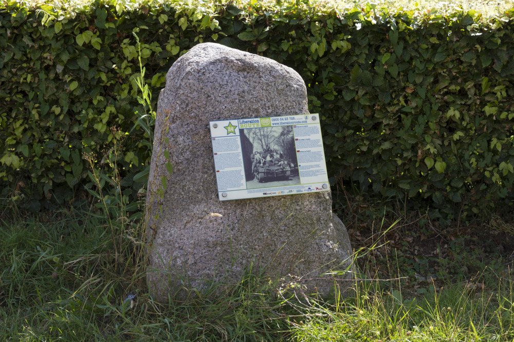
Liberation Route Marker 024
Liberation Route Europe is a certified Cultural Route of the Council of Europe. With hundreds of sites and stories in nine European countries, the route links the main regions along the advance of the Allied Forces in 1943-1945.
The entire route consists of themed routes that can be travelled by by hiking, walking, cycling and car. These routes pass numerous historical and interesting sites and tell stories from a multitude of perspectives that were important in the final phase of World War II.
Many routes feature listening spots, offering the opportunity to listen to a historical story at a location. In addition, many ‘Vectors of Memory’ have been placed, indicating that the passer-by is on one of the Liberation Routes.
The routes can be found on the Liberation Route Europe website or in the app through which many stories can also be listened to.
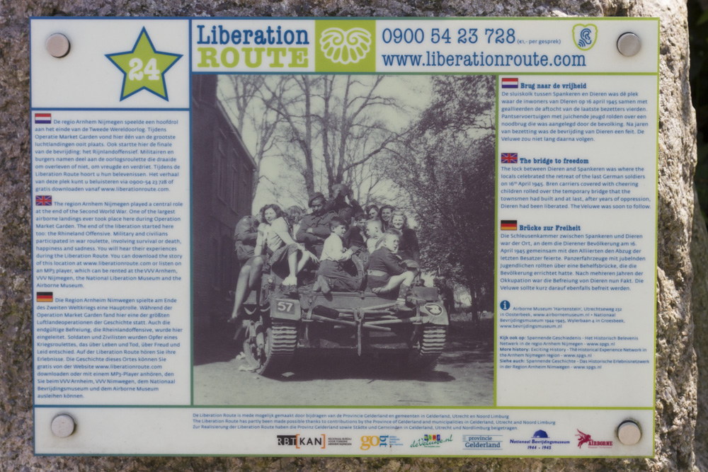
The Bridge to freedom
The lock between Dieren and Spankeren was where the locals celebrated the retreat of the last German soldiers. Bren carriers covered with cheering children rolled over the temporary bridge that the townsmen had been busy building and at last, the road to the Veluwe was reopened. Liberation was only days away.
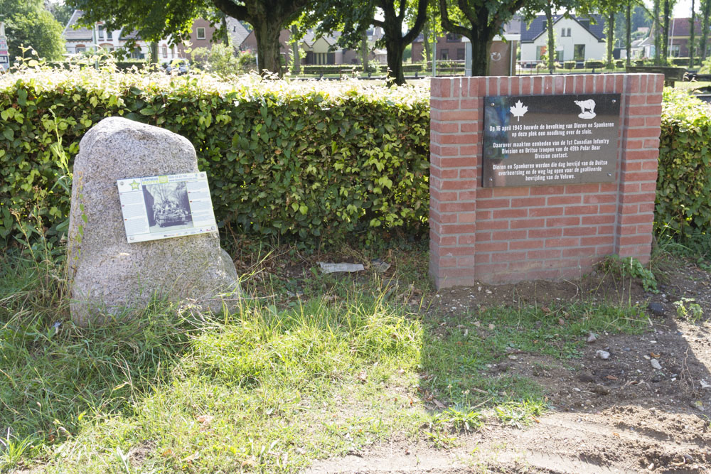
On 11th April 1945, the 1st Canadian Infantry Division crossed the River IJssel at Wilp. When they reached the Apeldoorn canal on 13th April, the Germans held their ground, pushing the Canadians off in a southerly direction. Meanwhile, the British 49th Infantry Division that had crossed the River IJssel on the 12th in Westervoort to the south, were heading north. The Russian units of the German army that had arrived in Dieren on 15th April, rebelled, killing a number of German soldiers. That night, a member of the resistance in Dieren went to the Canadian headquarters in Brummen to tell them that the Germans had already left Dieren, and that it would be easy for them to take back the town.
On 16th April, the local men started building a temporary bridge across the lock that had been destroyed on the Rijksstraatweg road. The British and Canadian tanks headed for the bridge, as did the people of Dieren. They flooded into the streets to welcome their liberators and the road was soon overflowing with tanks, cars and military vehicles, soldiers and civilians. Before long, the temporary bridge had been finished and the Bren carriers could cross the canal. In the distance, on the road from Arnhem, more British tanks started to appear and with them, came the liberation of Dieren.
Audiospot - The Bridge to freedom
Do you have more information about this location? Inform us!
Source
- Text: TracesOfWar & Liberationroute.com
- Photos: Arjan Vrieze
Nearby
Museum
Point of interest
- SS-Ausbildungslager Avegoor - Ellecom
- Concrete Encased M4 Sherman Tank Eden Doesburg - Doesburg
- Great or Martini Church - Doesburg
Monument
- Memorial Temporary Bridge Dieren - Dieren
- Memorial Killed Railway-Employee Dieren - Dieren
- Memorial Carolina Park Dieren - Dieren
Cemetery
- Commonwealth War Grave Roman Catholic Cemetery Olburgen - Olburgen
- Dutch War Grave Dieren - Dieren
- Jewish War Graves Ellecom - Ellecom
Remembrance Stone
- Stumbling Stones Molenweg 12a - Dieren
- Stumbling Stone Zutphensestraatweg 24 - Dieren
- Stumbling Stones Zutphensestraatweg 10 - Dieren


