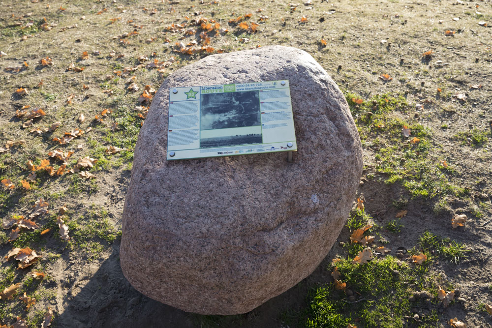
Liberation Route Marker 055: Battle of Ginkel Heath
Battle of Ginkel Heath
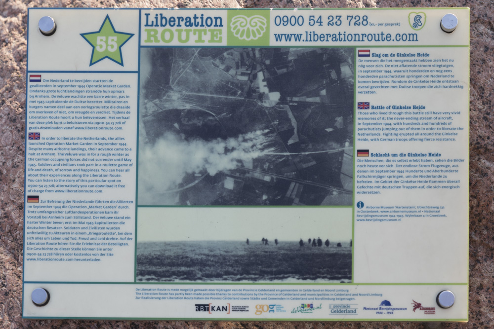
Those who lived through this battle still have very vivid memories of it; the never-ending stream of aircraft, in September 1944, with hundreds and hundreds of parachutists jumping out of them in order to liberate the Netherlands. Fighting erupted all around the Ginkelse Heide, with German troops offering fierce resistance.
The 1st British Airborne Division had received orders to secure the bridge over the River Rhine near Arnhem. They landed in September 1944 to the west of Arnhem. On 17th September, the 7th Battalion, King's Own Scottish Borderers landed in gliders to the north of Wolfheze. They were given orders to defend the Ginkelse Heide (Ginkel Heath) near Ede, which was the droppingzone for the second day of the operation: Monday 18th September. Various German units supported by armoured vehicles attacked the Scottish positions around the heath, which eventually proved to be too big for them to defend.
They lost part of the droppingzone. Then on the Monday afternoon, the 4th Parachute Brigade started their descent, just as the Scots were driving off the Germans. The 2000 parachutists had expected a quiet landing, but instead, were confronted with a fierce attack, a blazing inferno of bullets, fire and smoke. The Germans retaliated with all the fire power they had, but despite the German anti-aircraft defences as well as problems with the jump, 90% of the paratroopers managed to land in the designated landing zone. They started their advance towards Arnhem at around 17.00 hours.
Audiospot - Battle of Ginkel Heath
Liberation Route Europe is a certified Cultural Route of the Council of Europe. With hundreds of sites and stories in nine European countries, the route links the main regions along the advance of the Allied Forces in 1943-1945.
The entire route consists of themed routes that can be travelled by by hiking, walking, cycling and car. These routes pass numerous historical and interesting sites and tell stories from a multitude of perspectives that were important in the final phase of World War II.
Many routes feature listening spots, offering the opportunity to listen to a historical story at a location. In addition, many ‘Vectors of Memory’ have been placed, indicating that the passer-by is on one of the Liberation Routes.
The routes can be found on the Liberation Route Europe website or in the app through which many stories can also be listened to.
Do you have more information about this location? Inform us!
Source
- Text: TracesOfWar & Liberation Route Europe
- Photos: Arjan Vrieze
Nearby
Museum
- War and- Garrison museum 'De Smederij' - Ede
- Exhibition Glider Collection Wolfheze - Wolfheze
- Betuws War Museum "The Island" 1944-1945 - Heteren
Point of interest
- Information Sign Airborne landings around the Sheep Pen - Ede
- Information sign Zuid-Ginkel Inn and the three fallen hussars - Ede
- Landmark Ginkel Heath - Ede
Monument
- Airborne Memorial Ginkelse Heide - Ede
- Boulder on the Ginkelse Heide - Ede
- Memorial Café Zuid Ginkel - Ede
Cemetery
Remembrance Stone
- Stumbling Stones Bosbeekweg 19-21 - Bennekom
- Stumbling Stones Prins Bernhardlaan 28 - Bennekom
- Stumbling Stones Schoolstraat 38 - Bennekom


