Liberation Route Marker 127: A race against the clock
A race against the clock
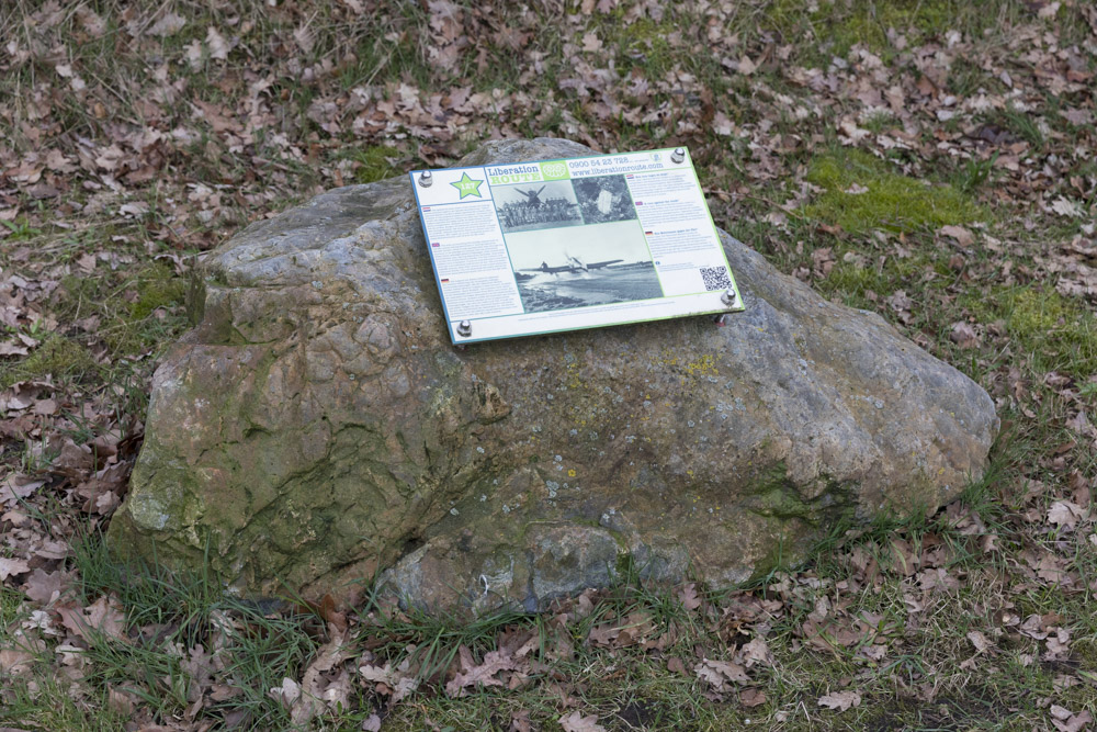
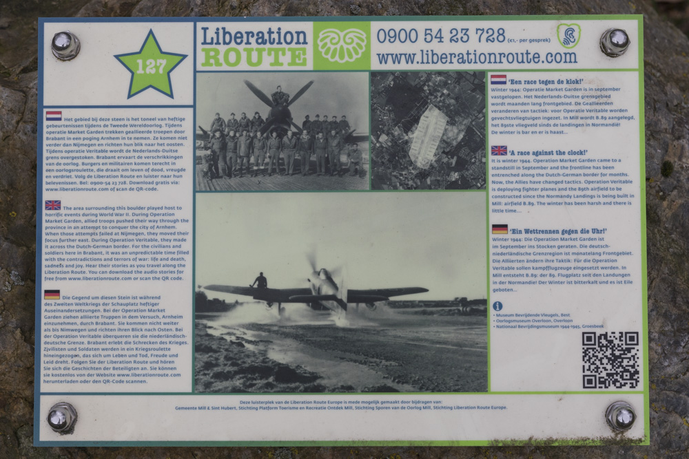
Recreational area 'De Kuilen' is now a very peaceful place, but during the winter of 1944-1945, it was a hive of activity. It was the site of an allied airfield, constructed by the Royal Engineers in record time and in freezing conditions. The airfield was intended for hundreds of aeroplanes that were going to provide air support for the next wave of allied offensives.
Operation Market Garden came to a standstill in September. During the winter of 1944/1945, the frontline had reached the Dutch-German border but was making little progress, with the fighting pushing it just a metre at a time. On the Allied side, the deployment of equipment and the dedication from the men were tremendously high. This required efficient organisation and support for the troops on the frontline from the air force. This need for air support was the reason why Allies constructed airfields in the liberated areas behind the frontline following the Normandy Landings on 6th June 1944.
These new airfields enabled the Allies to move troops more quickly, and gave them a place to station their fighter planes. At the end of December 1944, the Royal Engineers and Pioneer Corps were ordered to build B.89 here, in Mill: the 89th airfield to be constructed after D-Day.
When it became clear that there was going to be a large allied offensive in the area along the Dutch-German border in February 1945, the completion date for the airfield in Mill was brought forward. This gave the men only a matter of a few weeks to construct this enormous airfield, with the harsh winter weather to contend with as well. The beginning of February marked the start of these large allied offensives: their 8th February deadline?
Audiospot - A race against the clock
Liberation Route Europe is a certified Cultural Route of the Council of Europe. With hundreds of sites and stories in nine European countries, the route links the main regions along the advance of the Allied Forces in 1943-1945.
The entire route consists of themed routes that can be travelled by by hiking, walking, cycling and car. These routes pass numerous historical and interesting sites and tell stories from a multitude of perspectives that were important in the final phase of World War II.
Many routes feature listening spots, offering the opportunity to listen to a historical story at a location. In addition, many ‘Vectors of Memory’ have been placed, indicating that the passer-by is on one of the Liberation Routes.
The routes can be found on the Liberation Route Europe website or in the app through which many stories can also be listened to.
Do you have more information about this location? Inform us!
Source
- Text: TracesOfWar & Liberation Route Europe
- Photos: Arjan Vrieze
Nearby
Museum
Point of interest
- Peel-Raamstelling - Weir Heufseweg - Mill
- Peel-Raamstelling - Weir Nieuwenhofweg - Mill
- Ram Kangaroo Armoured Personnel Carrier Mill - Mill
Monument
- Artillery Memorial - Mill & St. Hubert
- War Memorial Mill - Mill & St. Hubert
- Memorial Dutch East Indies - Mill
Cemetery
- Commonwealth War Graves Roman Catholic Cemetery Zeeland - Zeeland
- Commonwealth War Graves Odiliapeel - Odiliapeel
- Commonwealth War Graves Roman Catholic Cemetery Grave - Grave
Remembrance Stone
- Stumbling Stone Hamstraat 28 - Grave
- Stumbling Stone Hamstraat 21 - Grave
- Stumbling Stone Rogstraat 2 - Grave
Fortification
- Peel-Raamstelling - Mound Mill - Mill
- Peel-Raamstelling - Remains G-Casemate 526 - Mill
- Peel-Raamstelling - B-casemate (90a) 527 - Mill


