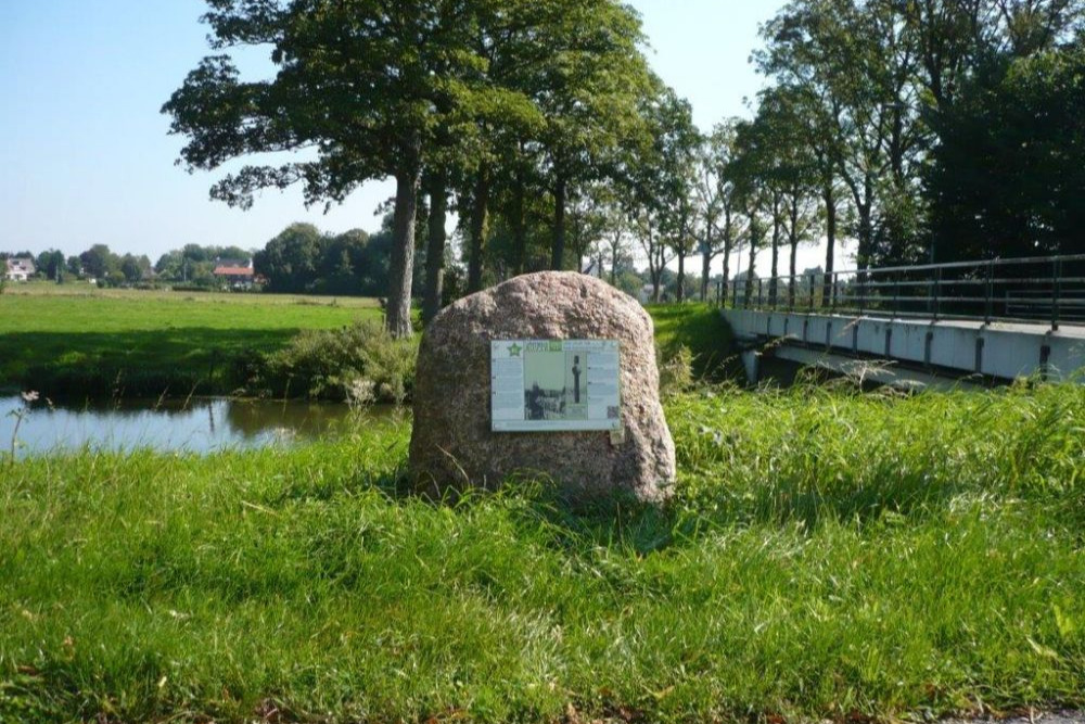
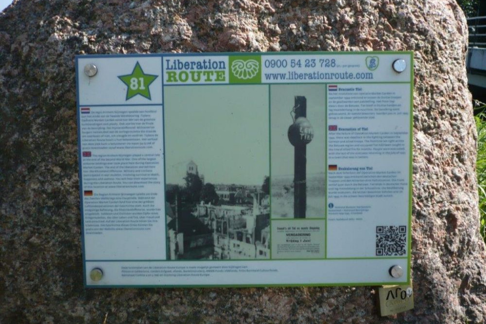
Liberation Route Marker 081: Evacuation of Tiel
Evacuation of Tiel
After the failure of Operation Market Garden in September 1944, there was deadlock in the fighting between the German and allied troops. The frontline ran right across the Betuwe region and occupied Tiel had been caught in the line of allied fire for months. People were evacuated, with the last of the evacuees returning in the July of 1945 to a town that was in tatters.
After Operation Market Garden failed to reach beyond Nijmegen and Elst, the Betuwe region found itself right on the frontline. At his point, the British occupied a strip of the Over-Betuwe region from Nijmegen to the Lower Rhine whilst the Germans occupied the eastern and western parts of the Betuwe. In order to prevent the Allies from moving any further, the Germans decided to flood the area with water. On 2nd December, they blew up the dike on the Rhine at Elden, over the river from Arnhem. The water level was so high, that the river water gushed into the Over-Betuwe region with incredible force. Some of the houses were submerged up to their roofs, and there were tree trunks and dead animals all over the place. The flooding forced the British to retreat to Elst.
On 6th December, the dike between Ochten and Kesteren collapsed, giving the Germans in the western part of the Betuwe region their own share of the flooding. It was certainly not what the Germans had in mind, and for the people living in the Betuwe region, it was a disaster. The towns of Lienden, Maurik and Ingen were completely flooded, and when the whole area froze three weeks later, the Betuwe turned into a sea of ice. The weather warmed up in January 1945, and the water slowly began to ebb away.
In the meantime, the situation in Tiel had become unbearable. The town was still occupied by the Germans, and was under heavy fire from the Allies on the other side of the River Waal. There was little alternative than to evacuate the people of Tiel to a safer place. The evacuation commenced in the middle of November. The last of the evacuees did not return until July 1945. When they did, the town was in absolute chaos. St Martin´s Church and the town’s water gate had been largely turned to rubble. It took decades to repair the damage and traces of the war can still be seen in Tiel to this very day.
Audiospot - Evacuation of Tiel
Liberation Route Europe is a certified Cultural Route of the Council of Europe. With hundreds of sites and stories in nine European countries, the route links the main regions along the advance of the Allied Forces in 1943-1945.
The entire route consists of themed routes that can be travelled by by hiking, walking, cycling and car. These routes pass numerous historical and interesting sites and tell stories from a multitude of perspectives that were important in the final phase of World War II.
Many routes feature listening spots, offering the opportunity to listen to a historical story at a location. In addition, many ‘Vectors of Memory’ have been placed, indicating that the passer-by is on one of the Liberation Routes.
The routes can be found on the Liberation Route Europe website or in the app through which many stories can also be listened to.
Do you have more information about this location? Inform us!
Source
- Text: TracesOfWar & Liberation Route Europe
- Photos: Arie van Wijngaarden
Nearby
Point of interest
Monument
- Dutch Indies Memorial General Cemetery Zoelen - Zoelen
- War Memorial Zoelen General Cemetery - Zoelen
- Liberation Route Marker 082: Helping the Allies - Zoelen
Cemetery
- Commonwealth War Graves General Cemetery Zoelen - Zoelen
- Dutch War Graves General Cemetery Zoelen - Zoelen
- Dutch War Graves Protestant Cemetery Zoelen - Zoelen
Remembrance Stone
- Stumbling Stones Dr. Kuijperstraat 6 - Tiel
- Stumbling Stone J.D. van Leeuwenstraat 3 - Tiel
- Stumbling Stones Prinses Beatrixlaan 38 - Tiel
