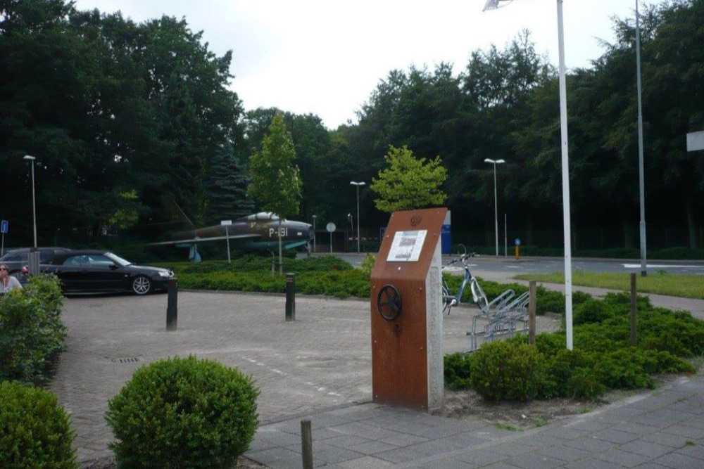
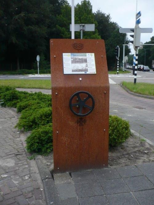
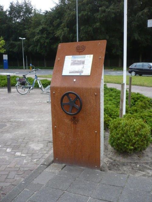
Liberation Route Marker 143: Gilze-Rijen airfield
Gilze-Rijen airfield
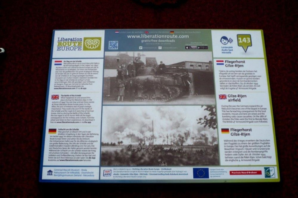
During the war, the Germans expand the air field and it becomes one of the largest in Europe. This has farreaching consequences for the local residents. Houses and land are seized and the bombing raids cause casualties. On the 28th of October, the Poles were the first to liberate Rijen. The British 4th Armoured Brigade soon followed.
Before the occupation of the Netherlands, the German army command must already have had plans for the existing Molenheide airfield, as immediately after the German invasion, the construction of a large airfield was begun here.
Before construction began, hundreds of acres of land were confiscated, people were evicted from their homes and many houses were demolished. Many were forced to participate in the construction and maintenance of the airfield.
The Germans stationed bombers at the airfield, which were deployed to attack England, as well as fighters which had to intercept Allied bombers on their way to targets in Germany.
The airfield was very often the target of Allied bombing, which also resulted in civilian casualties. On the 28th of October 1944, Rijen was liberated by Polish and British units.
Audiospot - Gilze-Rijen airfield
Liberation Route Europe is a certified Cultural Route of the Council of Europe. With hundreds of sites and stories in nine European countries, the route links the main regions along the advance of the Allied Forces in 1943-1945.
The entire route consists of themed routes that can be travelled by by hiking, walking, cycling and car. These routes pass numerous historical and interesting sites and tell stories from a multitude of perspectives that were important in the final phase of World War II.
Many routes feature listening spots, offering the opportunity to listen to a historical story at a location. In addition, many ‘Vectors of Memory’ have been placed, indicating that the passer-by is on one of the Liberation Routes.
The routes can be found on the Liberation Route Europe website or in the app through which many stories can also be listened to.
Do you have more information about this location? Inform us!
Source
- Text: TracesOfWar & Liberation Route Europe
- Photos: Arie van Wijngaarden
Nearby
Point of interest
- Memory Route World War ll Trooper Barracks Destroyed Rijen - Rijen (Gilze en Rijen)
- Memory Route World War ll Lederfabriek North Brabant Burned in Rijen - Rijen (Gilze en Rijen)
- Memory Route World War ll Ammunition Train Station Rijen - Rijen (Gilze en Rijen)
Monument
- Memorial Dambuster Crew S for Sugar - Gilze-Rijen
- Memorial Killed N.S. Employee Rijen - Rijen (Gilze en Rijen)
- Memorial Chapel Rijen - Rijen (Gilze en Rijen)
Cemetery
- Graves Civilian Victims Catholic Cemetery Hulten - Hulten (Gilze en Rijen)
- Commonwealth War Graves Roman Catholic Cemetery Gilze - Gilze (Gilze en Rijen)
- Collective Grave Civilian Casualties Roman Catholic Cemetery Gilze - Gilze (Gilze en Rijen)
Remembrance Stone
- Stumbling Stone Hoogstraat 80 - Oosterhout
- Stumbling Stone Klappeijstraat 46 - Oosterhout
- Stumbling Stone Leijsenhoek 73 - Oosterhout
Fortification
- Remnant Bunker Airport Gilze Rijen - Molenschot (Gilze en Rijen)
- Remnant Bunker Airport Gilze Rijen - Molenschot (Gilze en Rijen)
- Remnant Bunker Airport Gilze Rijen - Molenschot (Gilze en Rijen)


