Liberation Route Marker 150: A dramatic example of 'collateral damage'
A dramatic example of 'collateral damage'
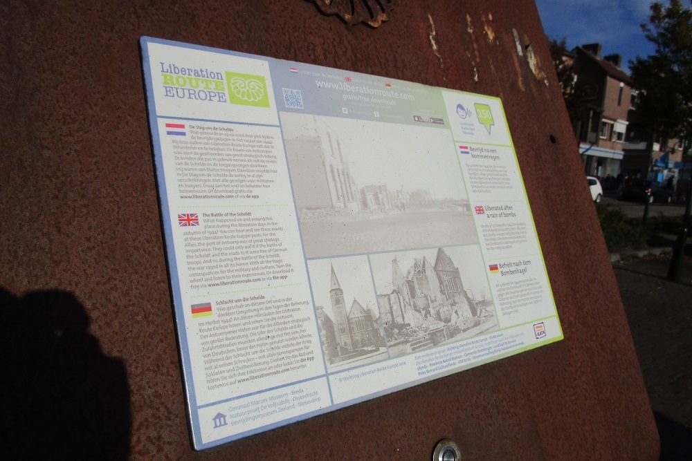
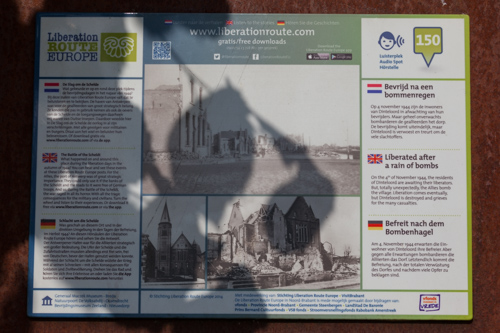
The noise of war had approached the West Brabant village of Dinteloord in the first days of November 1944. It stopped at Steenbergen, however, where the Canadian 4th Armoured Division encountered heavy opposition from German forces. Divisional headquarters therefore requested support from the British Royal Air Force. They were requested to attack the German supply lines, which passed through Dinteloord. A day before its liberation, the population of Dinteloord paid a heavy price for its freedom.
In the early morning of Saturday 4 November 1944, the first fighter aircraft appeared in the sky as "army support". About 40 Spitfire aircraft from four different squadrons attacked the village in as many waves. Several pilots saw troop concentrations, an additional reason for heavy attacks.
Dozens of bombs landed on the village, setting it on fire. As if that was not enough, the first fighter aircraft was followed by another group of Typhoon aircraft. These were feared by the German troops because they were equipped with rockets. The pilots fired rockets at the towers of three churches in Dinteloord. Then all groups of aircraft carried out so-called "strafings", diving flights with on-board machine guns. As a result, unquenchable fires broke out in many places in Dinteloord. Buildings collapsed and entire streets disappeared. The inferno took the lives of many residents. The survivors fled in long columns into the safe marshland.
Liberation felt sour when the next day British troops under Canadian command entered the almost totally destroyed village. Immediately, the liberators organised medical aid and evacuated the survivors. Almost fifty inhabitants did not live to see the liberation. The attack on Dinteloord was a poignant example of 'collateral damage' during Allied operations in North Brabant.
Audiospot - Liberated after a rain of bombs
Liberation Route Europe is a certified Cultural Route of the Council of Europe. With hundreds of sites and stories in nine European countries, the route links the main regions along the advance of the Allied Forces in 1943-1945.
The entire route consists of themed routes that can be travelled by by hiking, walking, cycling and car. These routes pass numerous historical and interesting sites and tell stories from a multitude of perspectives that were important in the final phase of World War II.
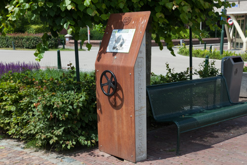
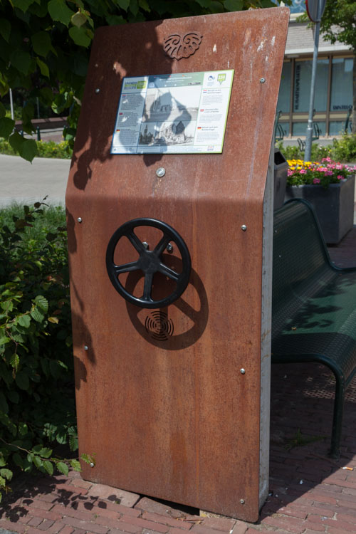
Many routes feature listening spots, offering the opportunity to listen to a historical story at a location. In addition, many ‘Vectors of Memory’ have been placed, indicating that the passer-by is on one of the Liberation Routes.
The routes can be found on the Liberation Route Europe website or in the app through which many stories can also be listened to.
Do you have more information about this location? Inform us!
Source
- Text: TracesOfWar & Liberation Route Europe
- Photos: Dick de Bruijne (1), Arjan Vrieze (2, 3, 4)
Nearby
Point of interest
- Gate of Poppies Welberg - Welberg
- Former Powder Magazine Bastion Utrecht Willemstad - Willemstad
- Maurits House Willemstad - Willemstad
Monument
- War Memorial Dinteloord - Dinteloord
- Memorial Civilian Casualities Municipal Cemetery Dinteloord - Dinteloord
- Memorial Walter Frank Watson Veness - Heijningen
Cemetery
- Dutch War Graves Municipal Cemetery Dinteloord - Dinteloord
- Collective Grave Civilian Casualities R.C. Cemetery Dinteloord - Dinteloord
- Dutch War Graves General Cemetery Ooltgensplaat - Ooltgensplaat
Remembrance Stone
- Stumbling Stones Voorstraat 28 - Numansdorp
- Stumbling Stone Groenstraat 46 - Roosendaal
- Stumbling Stone Dr. Lemmenstraat 30 - Roosendaal
Fortification
- Group Shelter Dintelsas - Dintelsas (Dinteloord)
- German Bunker Type 680 Dintelsas - Dintelsas (Dinteloord)
- German Bunker Type 612 Dintelsas - Dintelsas (Dinteloord)


