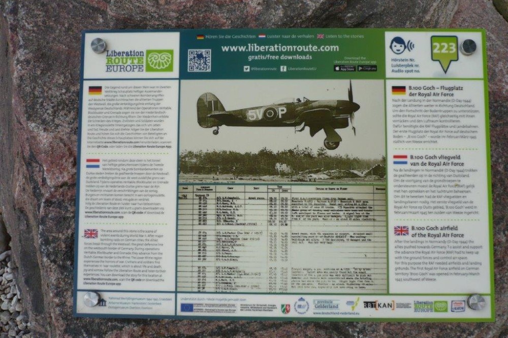
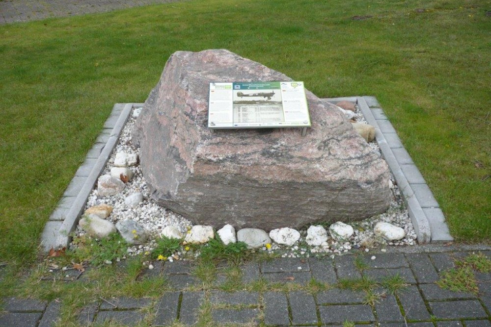
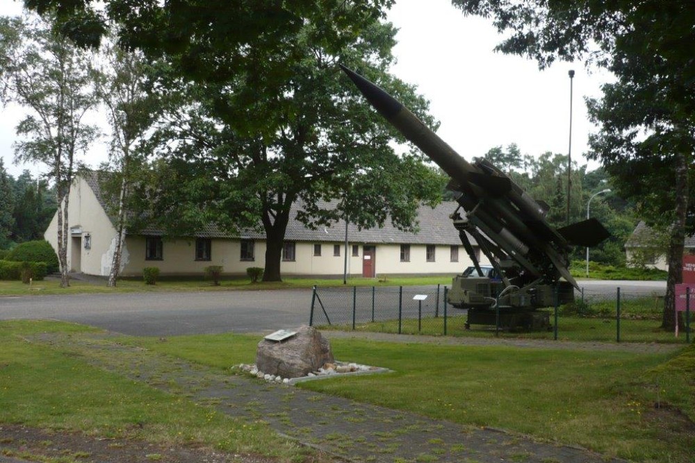
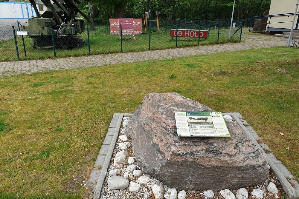
Liberation Route Marker 223: The Royal Air Force B-100 Goch Airfield
The Royal Air Force B-100 Goch Airfield
After the Normandy landings, (D-Day 1944), the Allies advanced towards Germany. To support the progress of the ground forces, the Royal Air Force, (RAF), had to keep up with them and control the airspace. To do this, the RAF needed airfields and runways. The first Royal Air Force airfield in Germany, 'B-100 Goch', was established in February/March of 1945, south of Weeze.
On the Western Front, the Rhineland Offensive constitutes one of the battles where the heaviest fighting takes place and greatest losses are suffered; the battle for the Lower Rhine and the crossing of the Rhine (Operations Veritable, Grenade, Blockbuster, Plunder and Varsity). Allied air forces were assigned the role of providing massive support to ground forces. Temporary airfields were established for this purpose, coded Y. in the case of U.S. troops and B. in the case of British troops, characterized by ascending numbering and named after a nearby town. The Royal Air Force's first airfield on German territory, “B.100 Goch,” was set up south of Weeze in February/March 1945 by units of the Engineers. The runway with perforated steel plates had a length of 1,080 meters. There was an emergency landing strip and, diagonally opposite, a 900-meter-long green strip for transport aircraft. British and Canadian units equipped with Spitfires and Typhoons carried out air attacks on German forces east of the Rhine River starting March 4, 1945.
The largest Allied air landing in a single day took place in Hamminklen airspace (Operation Varsity). In late April, after the successful Conquest of the Ruhr, the army moved on and B.100's military aircraft moved to several locations toward northern Germany. B.100 was disbanded again.
Audiospot - The Royal Air Force B-100 Goch Airfield
Liberation Route Europe is a certified Cultural Route of the Council of Europe. With hundreds of sites and stories in nine European countries, the route links the main regions along the advance of the Allied Forces in 1943-1945.
The entire route consists of themed routes that can be travelled by by hiking, walking, cycling and car. These routes pass numerous historical and interesting sites and tell stories from a multitude of perspectives that were important in the final phase of World War II.
Many routes feature listening spots, offering the opportunity to listen to a historical story at a location. In addition, many ‘Vectors of Memory’ have been placed, indicating that the passer-by is on one of the Liberation Routes.
The routes can be found on the Liberation Route Europe website or in the app through which many stories can also be listened to.
Do you have more information about this location? Inform us!
Source
- Text: TracesOfWar & Liberation Route Europe
- Photos: Arie van Wijngaarden (1, 2, 3), Johan Tjallingii (4), Peter Schipper (5)
Nearby
Museum
Point of interest
Monument
- Memorialstone Weeze - Weeze
- Memorial German War Cemetery Weeze - Weeze
- Ginkgo Tree German War Cemetery Weeze - Weeze
Cemetery
- German War Cemetery Weeze - Weeze
- Dutch War Grave Roman Catholic Cemetery Wellerlooi - Wellerlooi
- Dutch War Graves Roman Catholic Cementery Blitterswijck - Blitterswijck
Remembrance Stone
- Stumbling Stone Alte Heerstraße 11 - Weeze
- Stumbling Stones Kevelaerer Straße 32 - Weeze
- Stumbling Stone Wasserstraße 55 - Weeze


