Liberation Route Marker 496: The Phoenix caissons
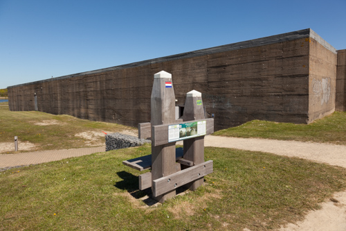
The Phoenix caissons
As part of the Atlantic Wall defenses, the Germans flooded a large part of Schouwen-Duiveland in the spring of 1944, forcing most of the inhabitants to evacuate. After the war, the inhabitants of Schouwen-Duiveland resumed normal life little by little. They pumped out the water, rebuilt the houses and worked the land.
Less than eight years later, in 1953, the island is hit by the Watersnoodramp. Hundreds of people die and once again the island is flooded. The dike holes at Ouwerkerk are eventually filled with remnants from World War II: four concrete Phoenix caissons, intended during the war as reserve caissons for the Allied Mulberry emergency ports for the invasion of Western Europe. Today, the Watersnoodmuseum is housed in these caissons.
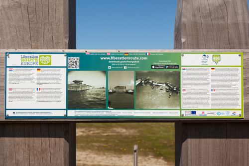
Liberation Route Europe is a certified Cultural Route of the Council of Europe. With hundreds of sites and stories in nine European countries, the route links the main regions along the advance of the Allied Forces in 1943-1945.
The entire route consists of themed routes that can be travelled by by hiking, walking, cycling and car. These routes pass numerous historical and interesting sites and tell stories from a multitude of perspectives that were important in the final phase of World War II.
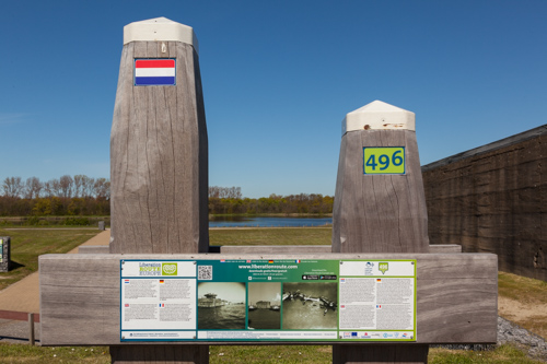
Many routes feature listening spots, offering the opportunity to listen to a historical story at a location. In addition, many ‘Vectors of Memory’ have been placed, indicating that the passer-by is on one of the Liberation Routes.
The routes can be found on the Liberation Route Europe website or in the app through which many stories can also be listened to.
Do you have more information about this location? Inform us!
Source
- Text: TracesOfWar & Liberation Route Europe
- Photos: Arjan Vrieze
Related books
Nearby
Museum
Point of interest
Monument
- Jewish Memorial Zierikzee - Zierikzee
- Memorial Menke Koos van der Beek - Zierikzee
- Memorial Victims of Schouwen-Duiveland - Zierikzee
Cemetery
- Dutch War Graves Zierikzee (Gen. Cemetery) - Zierikzee
- Dutch War Grave R.C. Cemetery Zierikzee - Zierikzee
- Commonwealth War Grave Kats - Kats
Remembrance Stone
- Stumbling Stones Korte Groendal 32 - Zierikzee
- Stumbling Stones Sint Domusstraat 17 - Zierikzee
- Stumbling Stones Havenpark 5 - Zierikzee
Fortification
- Tobruk Pz Turm WN 401 H Stavenisse - Stavenisse
- Tobruk WN 401 H Stavenisse - Stavenisse
- Fa Munition WN 401 H Stavenisse - Stavenisse
