Liberation Route Marker 321:
Liberation of IJzendijke
The province of Zealand and Flanders play a key role at the end of World War II. From September to early November 1944 the Battle for the Scheldt takes place with the goal to open up the ports of Antwerp for the Allied war effort. With the operation Switchback the 3rd Canadian Infantry Division and the 4th Canadian Armoured Division have to clear the south side of the Scheldt with the German 64th Infantry Division, the so-called "Breskens pocket". It will be one of the most difficult operations in western Europe. Follow the Liberation Route and listen to the experiences of soldiers and civilians.
On October 16, the Canadian regiment, the Queen's Own Rifles, takes up positions in the Groote Jonkvrouw polder, east of IJzendijke. At first, they launch a frontal assault in battalion strength, but this is soon cancelled because of problems in implementation and support. However, there is heavy artillery fire. On October 17, at 9:00 pm, the Canadians launch their attack. However, the remaining German soldiers offer fierce resistance. Every street and every house must be fought for, even by hand-to-hand combat with bayonets. Nevertheless, the Canadians manage to liberate the eastern part of IJzendijke. In the afternoon, the Germans react with shelling from the west, causing large fires. The next day, the Canadians manage to take the western part of the city as well. IJzendijke is badly battered by the fighting. There are dozens of deaths to be mourned. Around 200 buildings are destroyed.
Audiospot - Liberation of IJzendijke
Liberation Route Europe is a certified Cultural Route of the Council of Europe. With hundreds of sites and stories in nine European countries, the route links the main regions along the advance of the Allied Forces in 1943-1945.
The entire route consists of themed routes that can be travelled by by hiking, walking, cycling and car. These routes pass numerous historical and interesting sites and tell stories from a multitude of perspectives that were important in the final phase of World War II.
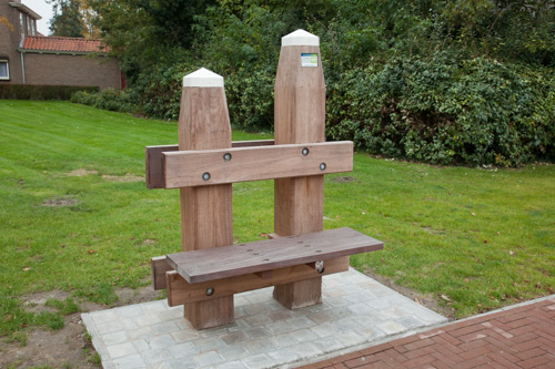
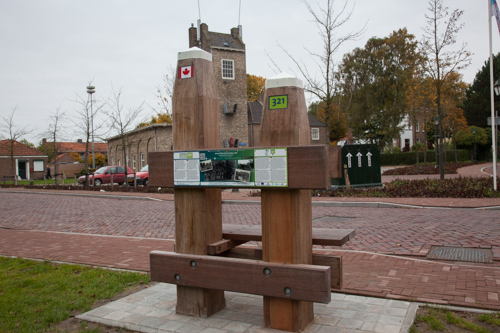
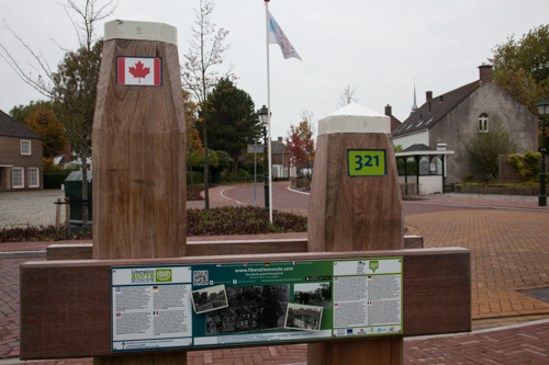
Many routes feature listening spots, offering the opportunity to listen to a historical story at a location. In addition, many ‘Vectors of Memory’ have been placed, indicating that the passer-by is on one of the Liberation Routes.
The routes can be found on the Liberation Route Europe website or in the app through which many stories can also be listened to.
Do you have more information about this location? Inform us!
Source
- Text: TracesOfWar & Liberation Route Europe
- Photos: Arjan Vrieze
Nearby
Point of interest
Monument
- Memorial IJzendijke - IJzendijke
- Monument Civilian Victims IJzendijke - IJzendijke
- Memorial Royal Engineers - IJzendijke
Cemetery
- Dutch War Graves IJzendijke - IJzendijke
- Commonwealth War Graves IJzendijke - IJzendijke
- Graves Belgian Veterans Waterland Oudeman - Waterland Oudeman


