Vector of Memory: John Frost Bridge
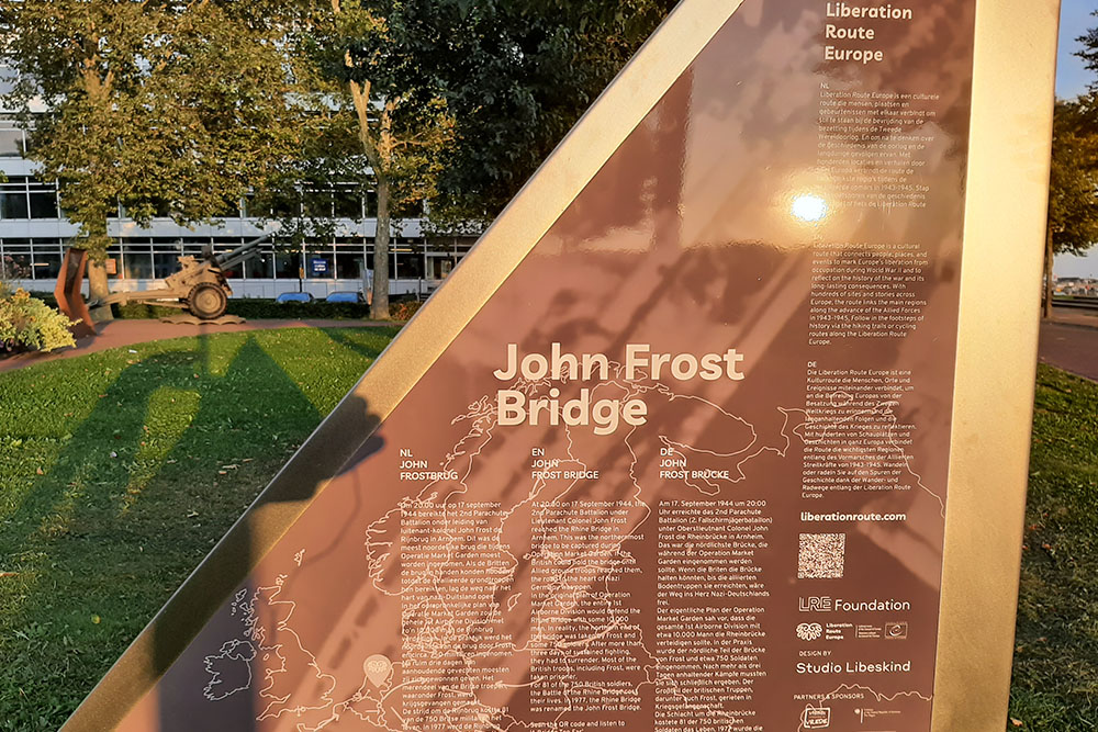
John Frost Bridge
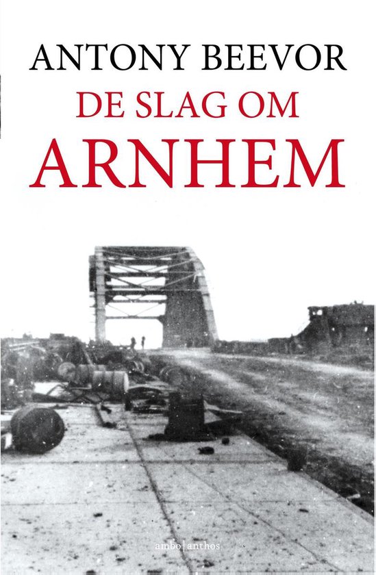
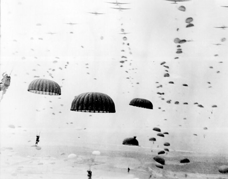
Seizing the bridge over the Rhine in Arnhem, the key objective of Operation Market Garden, proved to be an impossible mission. 750 lightly armed paratroopers managed to get a foothold near the bridge, held out for four days, but the bridge – and the city of Arnhem - remained in German hands.
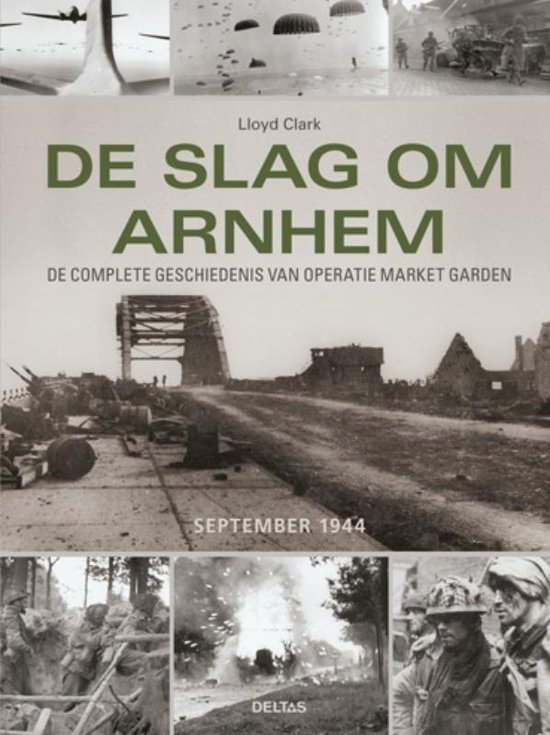
The Battle of Arnhem, 17-26 September 1944, was the last episode of Operation Market Garden. This bold attempt to achieve a swift breakthrough to heartland Germany beyond the Rhine, came to a halt in Arnhem. Bad luck seemed to guide the operation. There were no usable dropping areas closer to the bridge. Seasoned SS Panzer (armored) units happened to be in the Arnhem region to rest and reorganize, so the lightly armed paratroops met with unexpected and heavy resistance. The German tanks blocked the access roads to Arnhem, so no supplies and reinforcements could reach the small British combat group under the command of Lieutenant-Colonel John Frost near the bridge in downtown Arnhem.
The failure of the operation was also due to bad weather conditions in England. It was very foggy. The resupply aircrafts could not leave as scheduled and arrived in Holland much later than planned. By that time most of the selected drop zones had been reconquered by the stronger German forces. To add to the confusion radio communication between the Allied forces failed. And of course the worst problem: the land forces – Operation Garden – did not arrive in time to relief their airborne comrades. After the Battle of Arnhem, on 26 September, 95.000 citizens of Arnhem and surrounding towns were forced to leave their homes as the Germans wanted to turn the North bank of the Rhine into a heavily fortified line. Arnhem became a ghost town.
Audiospot - Een Brug te Ver
Liberation Route Europe is a certified Cultural Route of the Council of Europe. With hundreds of sites and stories in nine European countries, the route links the main regions along the advance of the Allied Forces in 1943-1945.
The entire route consists of themed routes that can be travelled by by hiking, walking, cycling and car. These routes pass numerous historical and interesting sites and tell stories from a multitude of perspectives that were important in the final phase of World War II.
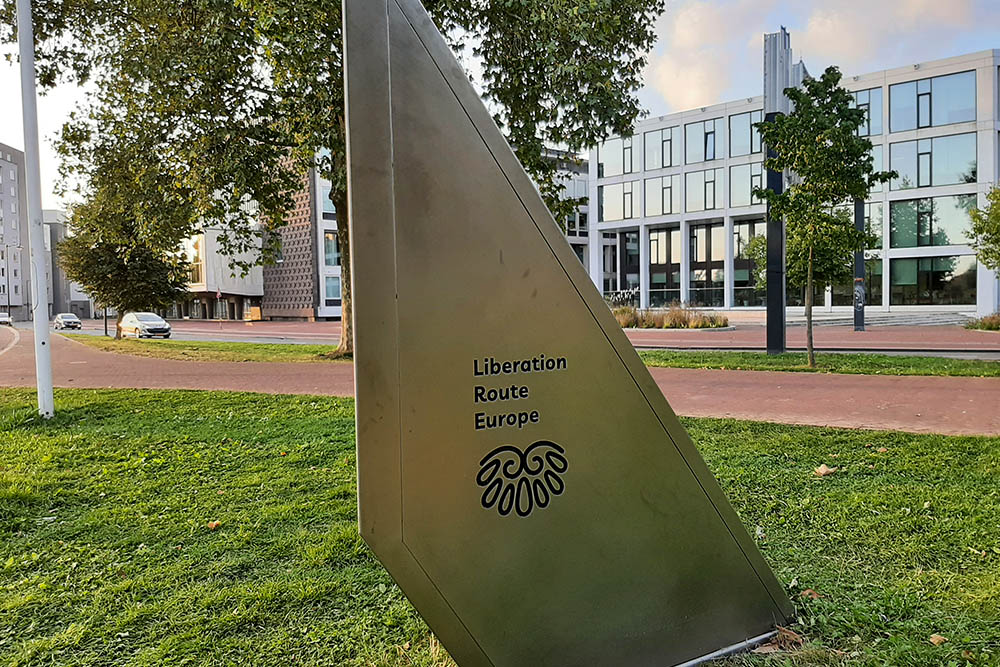
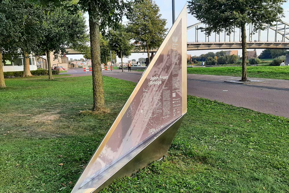
A separate group within the routes are the Vectors of Memory designed by renowned architect Daniel Libeskind. They form a symbolic family of landmarks that honor people, places and stories in the European landscape. The vectors are a topography of memory. They act as points in both space and time and connect to the liberation story. It is important that the markers convey a clear and powerful message.
There are 4 types of vectors:
- The Remembrance Site Vector
- The Crossroads Vector
- The Wall Vector
- The Floor Vector
For more information on the Vectors of Memory see the Liberation Route Europe site: https://www.lre-foundation.org/vectors-of-memory/.
The routes can be found on the website of Liberation Route Europe or in the app through which many stories can also be listened to.
Do you have more information about this location? Inform us!
Source
- Text: Traces of War & Liberation Route Europe
- Photos: Koos Winkelman
Related books
Nearby
Museum
Point of interest
Monument
- Jacob Groenewoud Park / Airborne Monument Arnhem - Arnhem
- Memorial Glider Pilots - Arnhem
- Memorial Glider Pilots - Arnhem
Cemetery
- War Grave Goossen Family - Arnhem
- Commonwealth War Grave Jewish Cemetery Moscowa Arnhem - Arnhem
- Dutch War Graves General Cemetery Moscowa Arnhem - Arnhem
Remembrance Stone
- Stumbling Stone Markt 5 - Arnhem
- Stumbling Stones Broerenstraat 33 - Arnhem
- Stumbling Stones Pastoorstraat 18 - Arnhem
Fortification
- Two Kockbunkers Museum Arnhem - Arnhem
- Kochbunker Arnhem - Arnhem
- Concrete Encased M4 Sherman Tanks Meinerswijk - Arnhem
