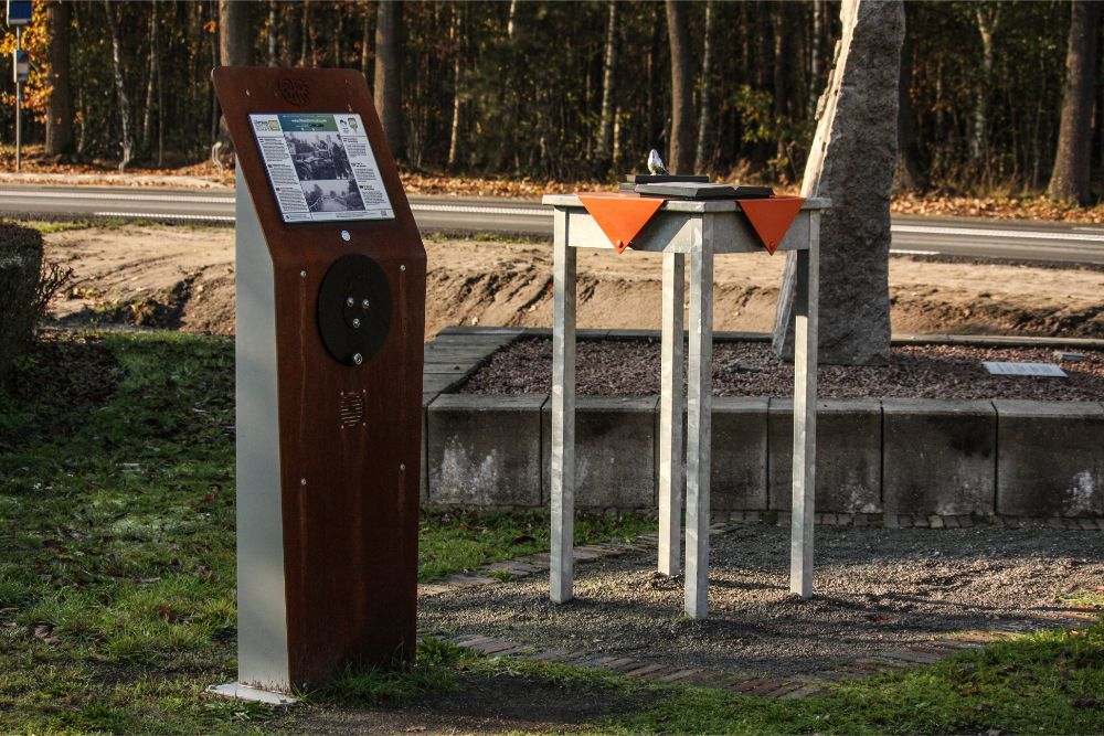
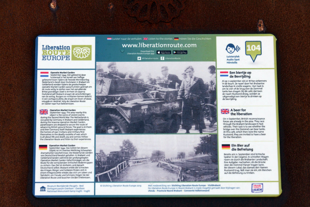
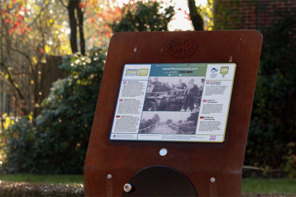
Liberation Route Marker 104: A beer for the liberation
A beer for the liberation
On 11 September, British reconnaissance forces are already in the area. They race through the Brabant landscape in fast vehicles. Their task is to see whether the bridge over the Dommel can bear tanks. At this café, which then bore the name Rustoord, they are invited to have a beer for the liberation.
On September 11 1944, the Allies sent reconnaissance troops ahead to see if the bridge over the River Dommel at Valkenswaard was still intact. It was important to know whether it could bear the weight of tanks. The four scouts raced in two reconnaissance Daimler vehicles at full speed past the German troops, who were so amazed, they didn’t have time to react.
The British stopped here, which was then called Rustoord café. Then a scout car ventured a little further along the road to view the bridge. In the vehicle, Corporal Brook saw a German tank that had just stopped on the bridge. The corporal therefore knew the bridge was strong enough and drove back to this café. After a brief stop in the café, the scouts returned to Belgium as quickly as they had arrived.
For General Horrocks, commander of the XXX Corps, the information about the bridge was of great importance in preparing Operation Garden. Later, General Horrocks called this reconnaissance mission the most daring of World War II.
Audiospot - A beer for the liberation
Liberation Route Europe is a certified Cultural Route of the Council of Europe. With hundreds of sites and stories in nine European countries, the route links the main regions along the advance of the Allied Forces in 1943-1945.
The entire route consists of themed routes that can be travelled by by hiking, walking, cycling and car. These routes pass numerous historical and interesting sites and tell stories from a multitude of perspectives that were important in the final phase of World War II.
Many routes feature listening spots, offering the opportunity to listen to a historical story at a location. In addition, many ‘Vectors of Memory’ have been placed, indicating that the passer-by is on one of the Liberation Routes.
The routes can be found on the Liberation Route Europe website or in the app through which many stories can also be listened to.
Do you have more information about this location? Inform us!
Source
- Text: TracesOfWar & Liberation Route Europe
- Photos: Liesbeth van Diggele (1, 2, 3), Herma de Vries (4)
Nearby
Museum
Point of interest
- Reconstruction Wire of death Achelse Kluis - Achel (Hamont-Achel)
- St. Mary's Chapel Eind - Eind
- St. Mary's Chapel Voort - Voort
Monument
- Liberation Memorial Borkel en Schaft - Borkel en Schaft (Valkenswaard)
- Valentinus chapel Westerhoven - Westerhoven
- Commemorative Stone Bridge Westerhoven - Westerhoven
Cemetery
- Commonwealth War Cemetery Valkenswaard - Westerhoven
- Dutch War Graves General Cemetery Eikenhof Cemetery - Valkenswaard
- Graves Civilian Casualtie Roman Catholic Cemetery Bergeijk - Bergeijk
Fortification
- Birkenhof Bunker - Valkenswaard
- Bunker 13 Border Defence Bocholt-Herentals Canal - Pelt
- Bunker 14 Border Defence Bocholt-Herentals Canal - Neerpelt


