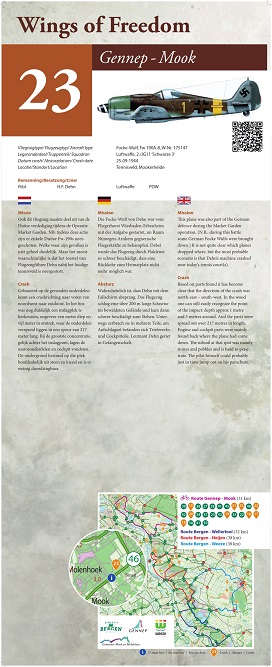
Cycle Route Wings of Freedom: Crash Site Focke-Wulf, Fw 190A-8, W-Nr. 175147
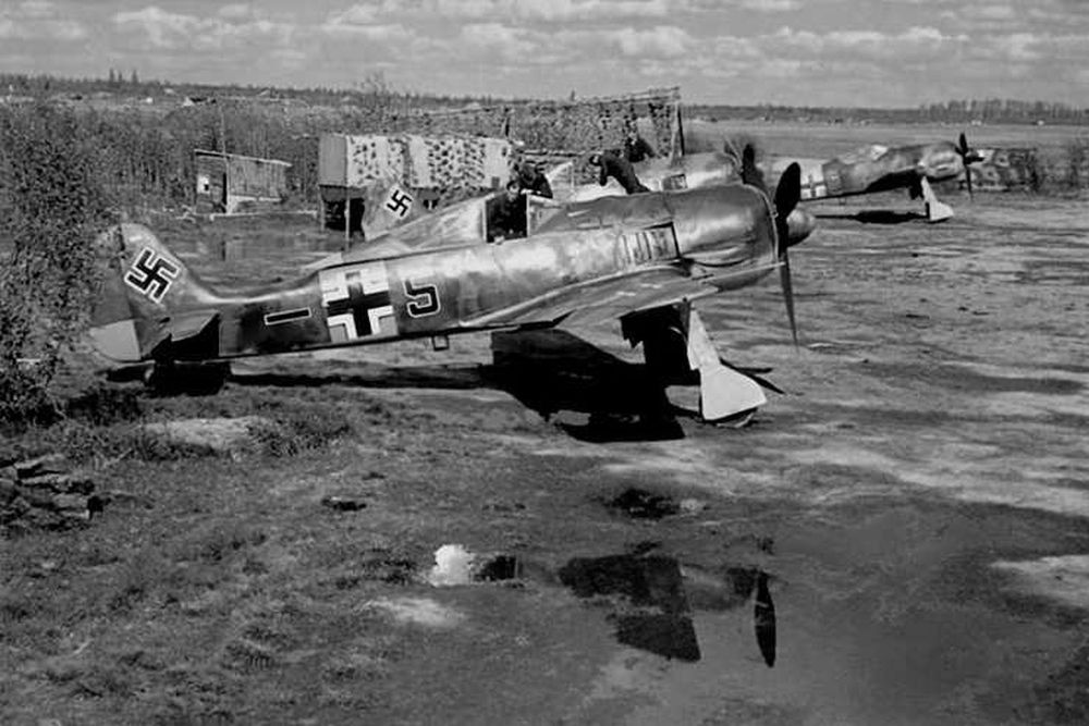
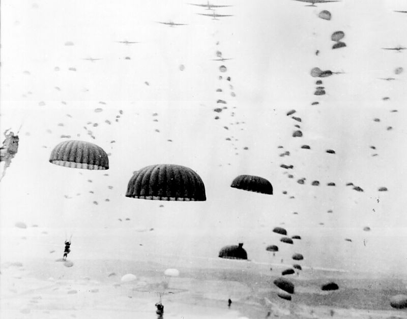
This plane was also part of the German defence during the Market Garden operation. (N.B.: during this battle some German Focke Wulfs were brought down.) It is not quite clear which planes dropped where, but the most probable scenario is that H.F. Dehn’s machine crashed near today’s tennis court(s).
Based on parts found it has become clear that the direction of the crash was north-east – south-west. In the wood one can still easily recognize the point of the impact: depth approx 1 metre and 5 metres around. And the parts were spread out over 217 metres in length.
Engine and cockpit parts were mainly found back where the plane had come down. The subsoil at that spot was mainly stones and pebbles and is hard to penetrate. The pilot himself could probably just in time jump out on his parachute.
The crash took place at the coordinates: 51.758859, 5.894186.
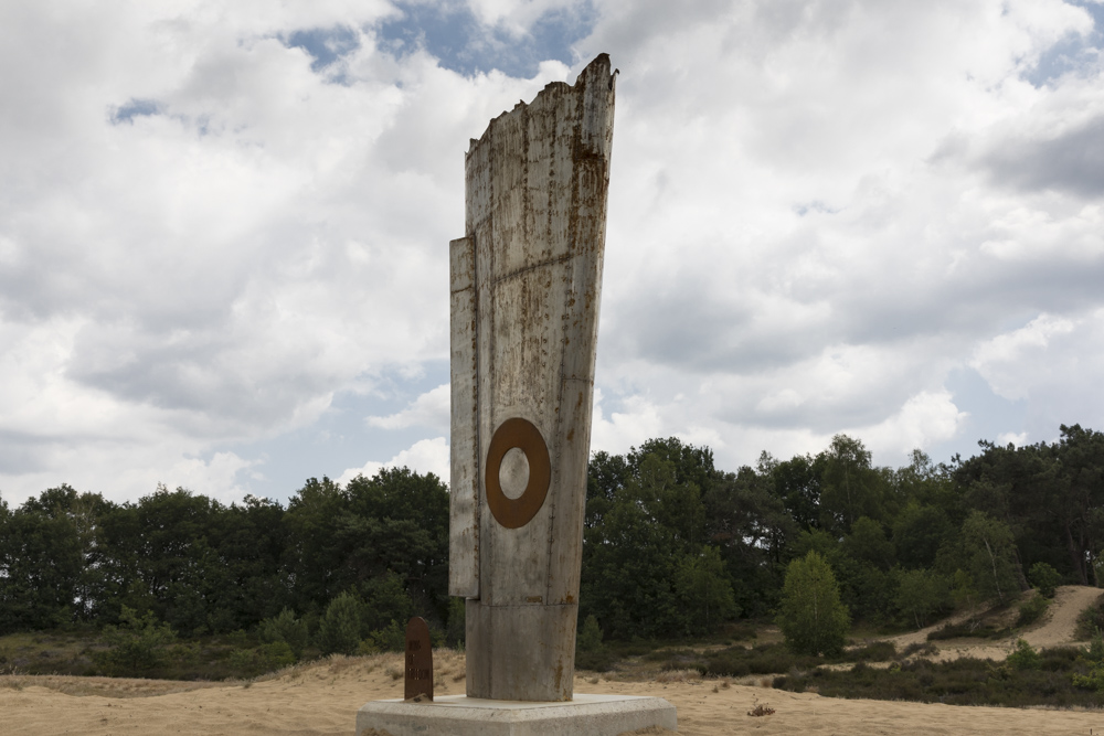
In collaboration with the municipalities of Bergen, Gennep, Mook-Middelaar and Weeze, the initiative was created for cycling routes 'Wings of Freedom' along crash locations.
In the four municipalities, 28 crash sites have been definitively confirmed. Near each crash site is a memorial sign with information about the cause of the crash. Using the network of cycling nodes, there are four routes of approximately 30 - 40 km. deployed along these places.
Do you have more information about this location? Inform us!
Source
- Text: Werkgroep Wings of Freedom
- Photos: Werkgroep Wings of Freedom
- Vliegtuigcrashroute Wings of Freedom
Related books
Nearby
Museum
- Museum "Van Postzegel tot Tank" - Groeningen
- Royal Air Force Museum Airport Weeze - Weeze
- Exposition 40-45 - Blitterswijck
Point of interest
- Cycling Route Maashees - Camp on the Heath - Maashees
- Castle Bleijenbeek - Afferden
- Cycling Route Maashees - Bunkers Maaslinie - Maashees
Monument
- Cycle Route Wings of Freedom: Central Memorial - Nieuw Bergen
- Memorial Gerardus G.H. Derks - Afferden
- Maria chapel - Maashees
Cemetery
- Dutch War Graves Venray - Venray
- Dutch War Graves Roman Catholic Cementery Blitterswijck - Blitterswijck
- Dutch War Grave Roman Catholic Cemetery Wellerlooi - Wellerlooi
Remembrance Stone
- Stumbling Stones Leeger-Weezer-Weg - Goch
- Stumbling Stone Hinterm Engel 20 - Goch
- Stumbling Stones Voßstraße 12 - Goch
